What is recorded here
Recovered from a hilltop enclosure (TS054-044----) situated in grassland on high ground with good panoramic views in all directions in upland region. An inscribed slab was uncovered during drainage works in a section of the inner fosse (Scott-O'Connell 1938, 125-6). The slab has since been destroyed but is described as being a 'roughly rectangular slab (type of stone unknown) divided into four sections by crossed lines and each section being engraved with figures and lines' (ibid.).
Compiled by: Jean Farrelly
Date of upload: 26 August 2011
Dated to the late prehistoric period, likely Bronze Age (c. 2500–500 BCE), the inscribed stone may have served a ritual or territorial function, possibly linked to early symbolic or proto-writing systems in the region. Its placement in a hilltop enclosure suggests it may have been part of a ceremonial or defensive landscape, though specific folklore or meaning remains unrecorded.
The monument record does not grant public access. Check the route and ask the landowner before entering private land.
- What survives
- Recorded monument
Places near here
 RathmooleyFairy fort / earthen ringfort · 1 yd
 Graystown Church (in ruins)Church · 1216 yd
 Site of CastleCastle, unclassified · 1267 yd
 Castle (in ruins)Castle, tower house · 1643 yd
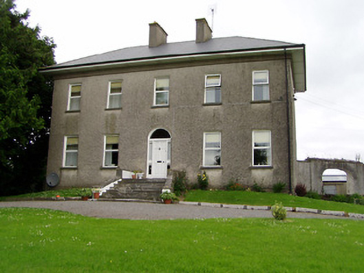 Roan Housecountry house · 1751 yd
 Enclosure in Ballintogher (graystown Par.)Enclosure · 1.3 mi
 Slieveardagh Heritage CentreVisitor information · 1.4 mi
 Noan WoodWood · 2.4 mi
 Eagle HillMountain / peak · 2.9 mi
 Taylor's WoodWood · 3.2 mi
 Gobban Saer's GraveArchaeological place · 3.3 mi
 Ballinure HillMountain / peak · 3.6 mi