
What is recorded here
Located at the E end of Roosky Lough, which is a rectangular lake (max. dims c. 370m WNW-ESE; c. 160m NNE-SSW) with a rectangular extension (max. dims c. 350m NNE-SSW; c. 110m WNW-ESE) extending S from its W end. Two crannogs in an L-shaped lake are represented on a Bartlett map of 1602-03, which have been mistaken for the crannog in Monaghan town (MO009-037----) (O’Sullivan 1997, Pl. 58), but the representation corresponds closest to Roosky lake (pers. com. Grace Moloney 2012). The Bartlett map indicates that these crannogs were occupied or re-occupied in the sixteenth and seventeenth centuries, when Roosky was a power centre of the Dartry Mac Mahons (Ó Mórdha 1958, 156-8), and probably had been over the previous centuries.
The lake is greatly reduced now from its representation on the 1834 edition of the OS 6-inch map. This E crannog is a circular overgrown island (diam. 18m; H 1m over the water) with deep water c. 2-3m from its shore. Erosion on the N side reveals a matrix of stones with some piles (diam. 0.1-0.2m) spaced c. 1-1.5m apart. The possible ringwork castle (MO012-054----) is on the shore just to the E.
The above description is derived from the published 'Archaeological Inventory of County Monaghan' (Dublin: Stationery Office, 1986). In certain instances the entries have been revised and updated in the light of recent research.
Revised by: Michael Moore
See the attached view of Bartlett's map with this crannog in the right foreground.
Date of revision: 29 January 2018
The monument record does not grant public access. Check the route and ask the landowner before entering private land.
- What survives
- Recorded monument
Places near here
 Roosky Castle (Site of)Castle, ringwork · 83 yd
 IndicatedCrannog · 266 yd
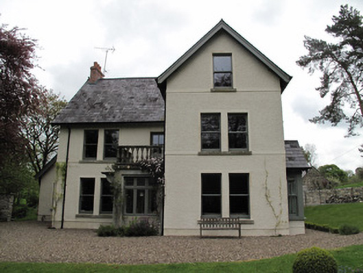 Millviewmill manager's house · 727 yd
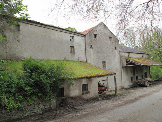 Historic buildingOfficially recorded historic building · 762 yd
 8Archaeological place · 887 yd
 Lisarrilly HillMountain / peak · 930 yd
 Jaundice WellSpring · 1.9 mi
 Common LimeCommon Lime · 2.2 mi
 KillycoonaghWood · 2.2 mi
 Saint John's WellSpring · 2.4 mi
 Tomb HillMountain / peak · 3.6 mi
 Dagda's CauldronHeritage attraction · 5.4 mi
Other information
Photo: Credit not shown in the picture search · Rights wording not checked; contact us if this picture should be removed