
What is recorded here
Described in 1983, as no surface remains visible of any building of pre 1700 date. There are only 19th and 20th century farm buildings located in the area marked on the RMP map of Co. Westmeath. The Ordnance Survey Letters recorded in the early 19th century that the townland of Grianan, ‘there were a few years back the remains of an old building, it is at present entirely effaced’(RIA 12, N. 9). The remains of this ‘old building’ have not been identified in the area marked on the RMP map for Co. Westmeath. A long rectangular building aligned E-W depicted on the first edition of the OS 6-inch map has been suggested as the location of the ‘old building’ described in the OS letters, but this is not certain. This building is also depicted on the revised editions of the OS 6-inch map but is not indicated on the 2005 OSI mapping.
Compiled by: Caimin O’Brien
Date of upload: 28 March 2013
The monument record does not grant public access. Check the route and ask the landowner before entering private land.
- What survives
- Recorded monument
Places near here
 St. Davids WellHoly well · 1658 yd
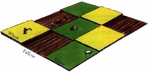 Field system in BallinlabanField system · 1.1 mi
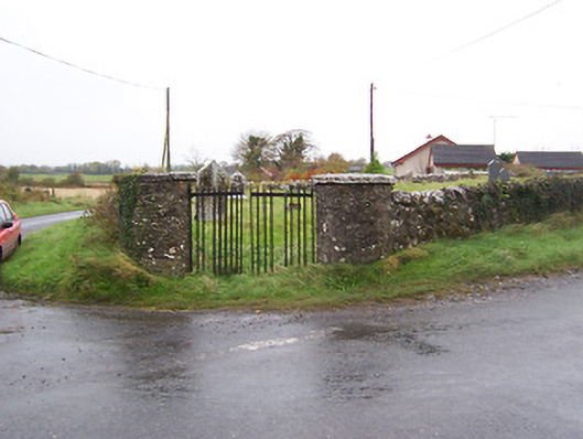 Balrath Graveyardgates/railings/walls · 1.3 mi
 Coola Bridgebridge · 1.4 mi
 Balrath CastleCastle · 1.4 mi
 Killalea FortCastle, motte · 1.5 mi
 Bonfire HillMountain / peak · 3.6 mi
 Kilmalady HillMountain / peak · 3.7 mi
 Ardan WoodWood · 3.9 mi
 High WoodWood · 4.3 mi
 St. Columba's WellSpring · 4.6 mi
 Clara Bog BoardwalkHeritage attraction · 7.0 mi
Other information
Photo: Credit not shown in the picture search · Rights wording not checked; contact us if this picture should be removed