
What is recorded here
Situated on a gentle N-facing slope overlooking the Atlantic Ocean. Slightly raised circular area (diam. 22.8m) enclosed by a low bank of earth and stone (Wth. 2.75m; int. H 0.2m-0.5m; ext H 0.7m). No fosse. Narrow break in bank at WSW (Wth. c. 1m) may mark original entrance. Field clearance including large stones has been thrown up on the bank and within the internal area.
Compiled by: Patrick F. O'Donovan
Date of upload: 19 January 2011
The monument record does not grant public access. Check the route and ask the landowner before entering private land.
- What survives
- Recorded monument
Places near here
 IndicatedEnclosure · 238 yd
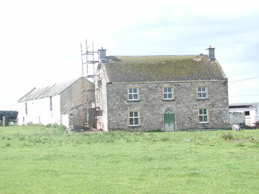 Finned Househouse · 1548 yd
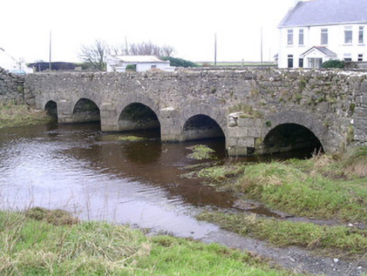 Finned Bridgebridge · 1.0 mi
 TowerSignal tower · 1.2 mi
 Rathlee HeadHeadland · 1.8 mi
 Bunowna PointHeadland · 2.4 mi
 CastleCastle, unclassified · 2.4 mi
 Bawn in CastletownBawn · 2.5 mi
 Wild Atlantic Way: Easky PierVisitor information · 2.6 mi
 Jim Smith MemorialMemorial · 3.2 mi
 Wild Atlantic Way: Inishcrone PierVisitor information · 5.9 mi
 Grave of the Black PigArchaeological place · 7.1 mi
Other information
Photo: Credit not shown in the picture search · Rights wording not checked; contact us if this picture should be removed