What is recorded here
In pasture, close to the Mayo-Galway border, located towards the E end of a narrow spit raised ground. Another rath (MA111-065----) is located c. 50m to W on the higher W end of the small ridge. There are excellent views to E−SE across gently undulating lowlying pasture and bog which stretches into county Galway.
Substantially raised circular earthen platform ( 30.7m N−S; 35.5m E−W) defined by a scarp (H 1.2m at W, 2.4m at E; Wth slope 1.65m at W, 2-3m at E), outside which it is enclosed by a fosse and on the E half by remnants of an external bank. The platform scarp retains a hint of an internal rim, probably the remnants of an original bank. The external slope on the E arc coincides with and is enhanced by the natural ridge slope. The fosse can be traced as a shallow depression (Wth 2m) at SW−NW and at NE−SE; at N and S linear E-W field fences obscure the line of the fosse and external bank. The external bank is evident as a low rise (Wth 2.8m; int. H 0.1m; ext. H 0.4m) on the outer edge of the fosse at NE−SE; it appears to have been incorporated into a later field boundary, now removed.
The W half of the interior is level; The E half slopes down from centre towards the perimeter. Prominent cultivation ridges traverse the entire interior space, right up to the edge of the scarp, giving it a scalloped appearance along the W edge.
The entrance may have been at NW where a section (Wth 2m) of the scarp is lowest relative to exterior ground level. There is also a narrow slumped area (Wth 1.5m) in the scarp at S.
Compiled by: Jane O'Shaughnessy
Date of upload: 17 February 2023
The monument record does not grant public access. Check the route and ask the landowner before entering private land.
- What survives
- Recorded monument
Places near here
 IndicatedFairy fort / earthen ringfort · 104 yd
 The Heathfarm house · 1109 yd
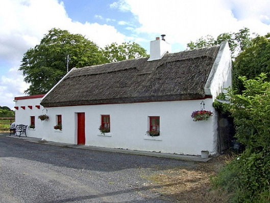 Beech Tree Cottagehouse · 1726 yd
 Knocknaglogh FortFairy fort / ringfort · 1.2 mi
 Castle (in ruins)Castle, unclassified · 2.2 mi
 Bawn in Castlemagarretpark OldBawn · 2.5 mi
 Geoffrey's WoodForest · 2.6 mi
 Oak WoodForest · 2.7 mi
 Land of the GiantsHeritage attraction · 4.7 mi
 Mass RockNamed rock · 8.6 mi
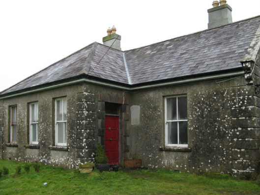 Ballyglass Housefarm house · 1.1 mi
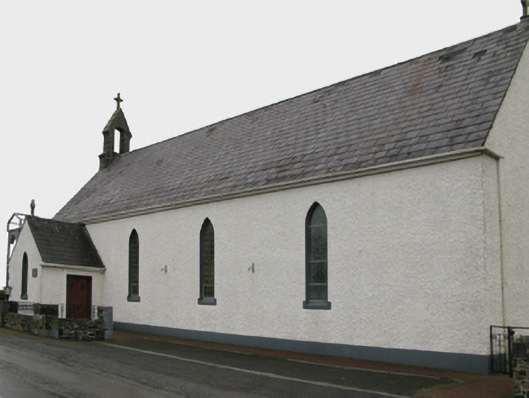 Saint Patrick's Catholic Churchchurch/chapel · 1.4 mi