What is recorded here
No wall or ditch marks the ground now, yet the 1839 survey still drew a fifty-five metre circle on the Kildare slope. That faint line preserved a boundary already fading from human memory. The earth has taken back the stone, but the drawing keeps the shape alive.
On a gentle N-facing pasture slope. One of three closely associated raths (along with KD032-035---- and KD032-034---- to the NNE) recorded on the 1st ed. (1839) of the OS 6-inch map, where it is shown as a dashed circular area (est. max. diam. c. 55m) and named ‘Site of Rath’. No visible surface trace survives.
Compiled by: Gearóid Conroy
Date of upload: 30 October 2013
The monument record does not grant public access. Check the route and ask the landowner before entering private land.
- What survives
- Recorded monument
Places near here
 IndicatedFairy fort / earthen ringfort · 305 yd
 RathglassEnclosure · 477 yd
 Narraghmore Nature ReserveForest · 871 yd
 Church (in Ruins)Church · 1249 yd
 CrookanurnWood · 1.2 mi
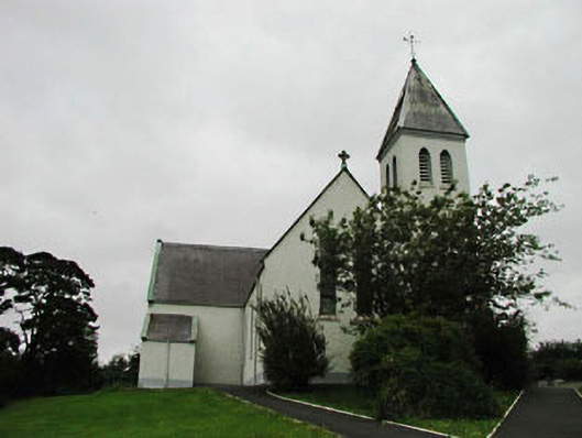 Saint Joseph's Catholic Churchchurch/chapel · 1.3 mi
 Blackhall CastleCastle, tower house · 1.8 mi
 Colbinstown Castle (in Ruins)Castle, unclassified · 2.0 mi
 Battle of Kilrushbattle · 3.1 mi
 Burtown House and GardensHeritage attraction · 4.2 mi
 Gorden Bennet Race memorialMemorial · 4.9 mi
 History of Moat of ArdscullVisitor information · 4.9 mi