What is recorded here
Located on a fairly level landscape. Aerial photograph (GB90.BK.08) shows the cropmark of a curvilinear enclosure (diam. c. 30-40m) defined by a fosse; a rectilinear structure is located within the enclosure. Fosses define two small conjoined enclosures to the E and NE, suggesting an associated field system. It was first recorded as a positive cropmark in July 1990, but is now within a designed golf course.
Compiled by: Geraldine Stout
Date of upload: 8 July 2019
The monument record does not grant public access. Check the route and ask the landowner before entering private land.
- What survives
- Recorded monument
Places near here
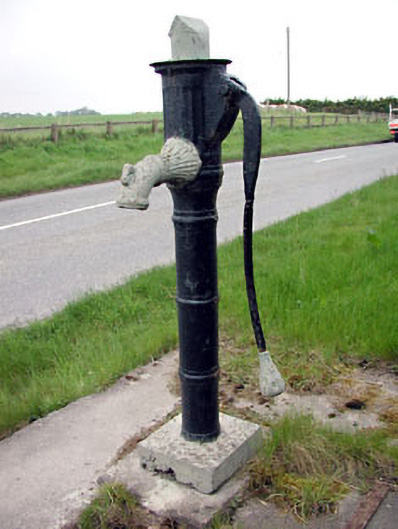 water pumpwater pump · 1318 yd
 Church (in Ruins)Church · 1559 yd
 CastleCastle, motte · 1673 yd
 Scurlogstown CastleArchaeological place · 1705 yd
 Newtown AbbeyCathedral · 1.0 mi
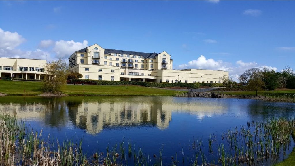 IndicatedFairy fort / earthen ringfort · 1.1 mi
 Saints IslandForest · 2.5 mi
 Small-leaved ElmSmall-leaved Elm · 3.6 mi
 Kilgar GardensHeritage attraction · 8.0 mi
 Larchil Arcadian GardensHeritage attraction · 8.2 mi
 Old Bog Road made famous by Teresa Bryton 1868-1943Memorial · 8.3 mi
 Candle HillMountain / peak · 9.4 mi