What is recorded here
Situated in area of scrub and woodland on W facing slope of hill, with ringfort (WM001-022----) 90m to SW. A heavily overgrown ringfort (WM001-021----) with the grass-covered wall footings (Wth 1.4m; H 0.6m) of a rectangular house (int. L 5m x int. Wth 4.4m), the S end of which is built up against the inner face of the bank immediately W of the ringfort entrance gap at E. The house has a wide gap in its E side at its SE corner and a narrow gap near the middle of the W side. Some stones are visible in the bank of the house but there is no visible evidence of masonry.
Compiled by Frank Coyne & Caimin O'Brien
Date of upload: 16 November 2016
The monument record does not grant public access. Check the route and ask the landowner before entering private land.
- What survives
- Recorded monument
Places near here
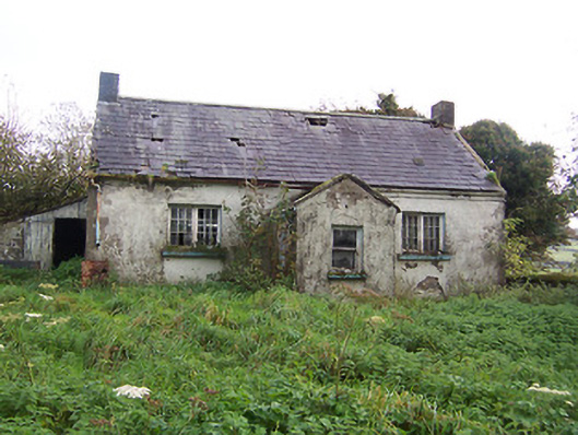 Tullystown National Schoolschool · 639 yd
 IndicatedFairy fort / earthen ringfort · 938 yd
 Balnacart Millmill (water) · 991 yd
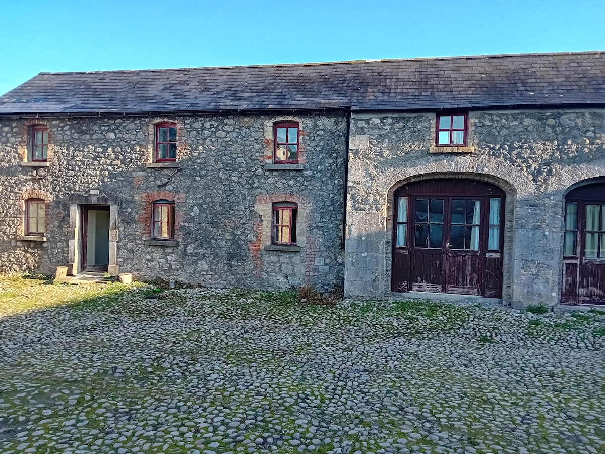 Bawn in TullystownBawn · 1095 yd
 OutlinedFairy fort / earthen ringfort · 1268 yd
 MullaghmeenMountain / peak · 1470 yd
 CastleCastle, motte · 1472 yd
 Mullaghmeen White WalkWalking route · 1.1 mi
 Mullaghmeen Red WalkWalking route · 1.3 mi
 Mullaghmeen ForestPicnic place · 1.8 mi
 Fox CovertForest · 2.0 mi
 Bob's GroveForest · 2.8 mi