
What is recorded here
Situated on NE facing slope of small hillock with excellent views to W, N & E. Ringfort (WM001-009----) 160m to NW and large ringfort (WM001-011---) 260m to N. Roughly circular area (diam. 40.5m NE-SW; 36m SE-NW) enclosed by a wide well preserved earth and stone bank with faint traces of an external fosse at W only. Perimeter of monument is intersected at SW by a post-1700 field boundary running NW-SE. No clear entrance feature visible, two breaks in the bank at NW but it not possible to know if one of these represents the original entrance. The surface of the interior is uneven and dips appreciably towards the perimeter on the NW and SE. The external face of the enclosing bank is faced with stone of post-1700 date from SW-W-N where it now forms part of a field boundary. There is a slight depression of unknown significance, but possibly modern disturbance near the centre. The interior has traces of post-1700 cultivation ridges running SW-NE. The bank supports hazel and other scrub.
See attached profile of monument surveyed and drawn by the ASI.
Compiled by: Frank Coyne and Caimin O'Brien
Date of upload: 15 November 2016
The monument record does not grant public access. Check the route and ask the landowner before entering private land.
- What survives
- Recorded monument
Places near here
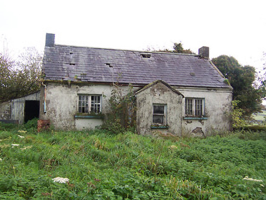 Tullystown National Schoolschool · 480 yd
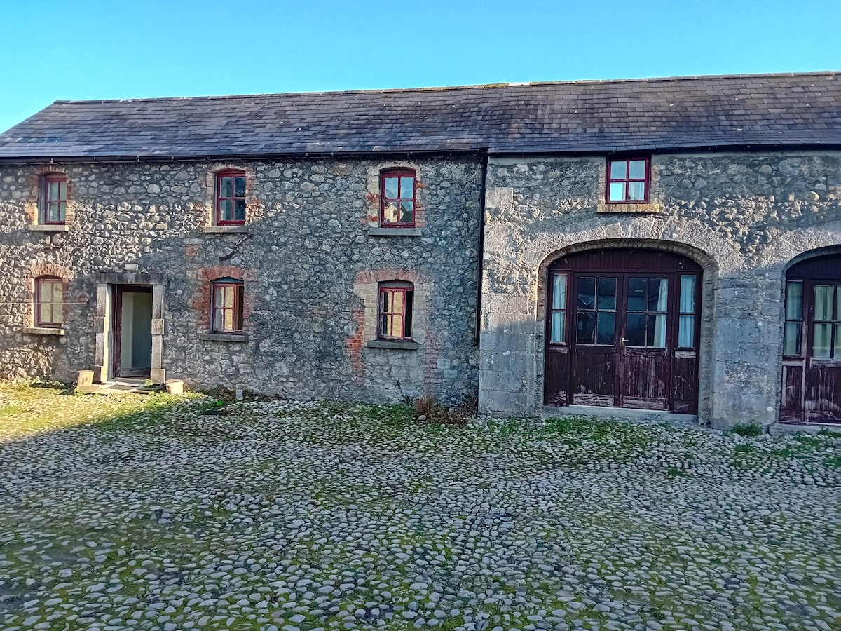 Bawn in TullystownBawn · 737 yd
 Tullystown Househouse · 791 yd
 CastleCastle, motte · 970 yd
 HacuredFairy fort / earthen ringfort · 1140 yd
 OutlinedFairy fort / earthen ringfort · 1212 yd
 MullaghmeenMountain / peak · 1.3 mi
 Mullaghmeen White WalkWalking route · 1.6 mi
 Fox CovertForest · 1.7 mi
 Mullaghmeen Red WalkWalking route · 1.9 mi
 Ross BayBay · 2.0 mi
 Muldarry PointHeadland · 2.0 mi
Other information
Photo: Credit not shown in the picture search · Rights wording not checked; contact us if this picture should be removed