What is recorded here
In rough grazing upland pasture on SE facing slope. Appears to be several (5-7) circular huts between 4-8m in diameter spread over an area of 0.25 hectares that are visible on Digital; Globe orthoimage taken between 2011-13. There is a main cluster spread over 0.1 hectares comprising of perhaps 4 hut sites. Cluster of conjoined circular shaped features visible on Google Earth orthoimage taken 02/06/2010.
See attached Google Earth orthoimage
Compiled by: Caimin O'Brien based on details provided by Rob O'Hara
Date of upload: 21 February 2023
The monument record does not grant public access. Check the route and ask the landowner before entering private land.
- What survives
- Recorded monument
Places near here
 RoadRoad, road/trackway · 1366 yd
 Field boundary in DromtineField boundary · 1402 yd
 Enclosure in Gowlanes EastEnclosure · 1.2 mi
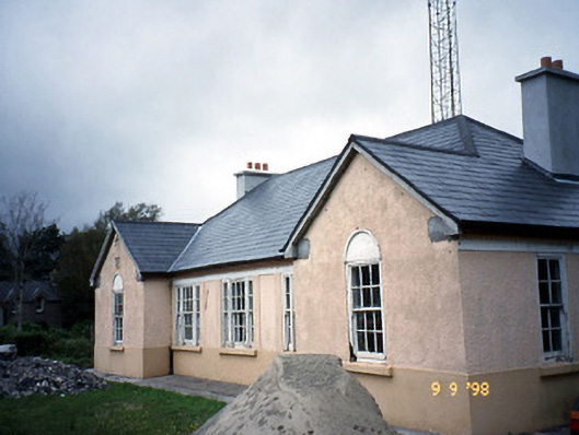 Sneem Garda Síochána Stationgarda station/constabulary barracks · 1.8 mi
 De Gaulle MemorialMonument · 1.8 mi
 Slievenashaska South TopMountain / peak · 1.9 mi
 Sneem Commemoration PlaqueMemorial · 2.0 mi
 SlievenashaskaMountain / peak · 2.1 mi
 GarinishIslet · 3.9 mi
 Coral BeachBeach / strand · 4.2 mi
 Rossdohan IslandIsland · 4.7 mi
 2Cliff · 5.0 mi