What is recorded here
Sub-circular enclosure KE035-056----, with 2 internal hut-sites, situated on a gentle W facing slope overlooking the Owenmore valley.
(1) (KE035-056001-) A circular stone hut, c. 3.95m in internal diameter, is built against the bank at E. The wall survives to a maximum height of 1.2m where it abuts the bank but the opposite side is now merely a low, grass-grown mound of collapse; it appears to be slightly corbelled. A raised area between this hut and the enclosing bank to S is defined on its W side by a low grass-grown stony bank and may be the very collapsed remains of another hut.
The above description is derived from J. Cuppage, ‘Corca Dhuibhne. Dingle Peninsula archaeological survey. Ballyferriter. Oidhreacht Chorca Dhuibhne’ (1986), no. 498. In certain instances the entries have been revised and updated in the light of recent research.
Date of upload: 7 August 2013
The monument record does not grant public access. Check the route and ask the landowner before entering private land.
- What survives
- Recorded monument
Places near here
 Man-made underground passage in Cill Mhuire (tc An Baile Dubh),lios Na MbóbhánMan-made underground passage · 297 yd
 Fulacht fia in An Choill Mhór (bar. Corca Dhuibhne)Fulacht fia · 731 yd
 Church in Cill An UrdráinChurch · 1.0 mi
 Séipéal Bhréanainn [Saint Brendan's Catholic Church]church/chapel · 1.1 mi
 Drom BeachBeach / strand · 1.5 mi
 An t'Oileán DubhIslet · 2.0 mi
 Sliabh na nGabharMountain / peak · 2.0 mi
 An CheapaighBeach / strand · 2.1 mi
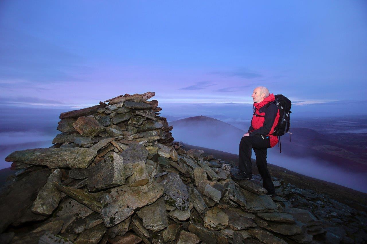 Sliabh Mhacha Ré (mullach thoir thuaidh)Mountain / peak · 2.1 mi
 Site of CastleCastle, unclassified · 2.2 mi
 Hillville WoodWood · 2.5 mi
 Maughanablagher CliffsCliff · 2.8 mi