
What is recorded here
An underground chamber hides beneath the circular rath at Cill Mhuire, waiting for boots loud enough to break the silence. The ridge stands 212 feet above the rivers, high enough to watch water flow in both directions but low enough for fog to erase the boundary between land and sky. People may have built the passage to keep warmth, hide treasure or simply avoid the rain. Whatever the intent, the earth swallowed the entrance and kept the chamber company until someone remembers the way down.
Circular univallate rath KE035-057---- is situated near the crest (212 feet/65m) of the low, generally level ridge which separates the lower reaches of the Owenmore and Scorid rivers.
Curran (no.13) recorded an 'underground chamber' here.
The above description is derived from J. Cuppage, ‘Corca Dhuibhne. Dingle Peninsula archaeological survey. Ballyferriter. Oidhreacht Chorca Dhuibhne’ (1986), no. 476. In certain instances the entries have been revised and updated in the light of recent research.
Date of upload: 7 August 2013
The monument record does not grant public access. Check the route and ask the landowner before entering private land.
- What survives
- Recorded monument
Places near here
 Man-made underground passage in Cill Mhuire (tc An Baile Dubh)Man-made underground passage · 538 yd
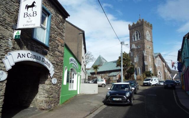 Hut site in Cill Mhuire (tc An Baile Dubh)Hut site · 548 yd
 Church in Cill An UrdráinChurch · 1576 yd
 Séipéal Bhréanainn [Saint Brendan's Catholic Church]church/chapel · 1.1 mi
 Drom BeachBeach / strand · 1.3 mi
 An t'Oileán DubhIslet · 1.9 mi
 An CheapaighBeach / strand · 2.0 mi
 Sliabh na nGabharMountain / peak · 2.0 mi
 Site of CastleCastle, unclassified · 2.1 mi
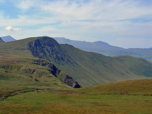 Gob an IolairMountain / peak · 2.1 mi
 Hillville WoodWood · 2.3 mi
 Pointe na CathrachHeadland · 2.9 mi
Other information
Photo: Credit not shown in the picture search · Rights wording not checked; contact us if this picture should be removed