What is recorded here
Located in a broad expanse of sedge- and heather-covered bog, bordered to W by the valley of the Croagh River. The bog is cut through in parts by old turf cuttings, drainage ditches and bog roads. A bog road is located c. 20m to SW of the hut site. The hut site consists of a sub-circular area (8.5-9m E–W; 7.5m N–S) defined on its perimeter by a grass-, moss- and heather-covered rise or bank (W1-1.4m), from which several large stones (max. dims. 0.55-0.9m; max. H 0.4m) protrude at SW–NW. The stones appear to be part of an enclosing wall, almost entirely engulfed in peat and overgrowth. The interior is is marked by bog grasses, mosses and a dense growth of rushes.
Compiled by: Jane O'Shaughnessy
Date of upload: 4 July 2014
The monument record does not grant public access. Check the route and ask the landowner before entering private land.
- What survives
- Recorded monument
Places near here
 ÌndicatedFairy fort / earthen ringfort · 1.4 mi
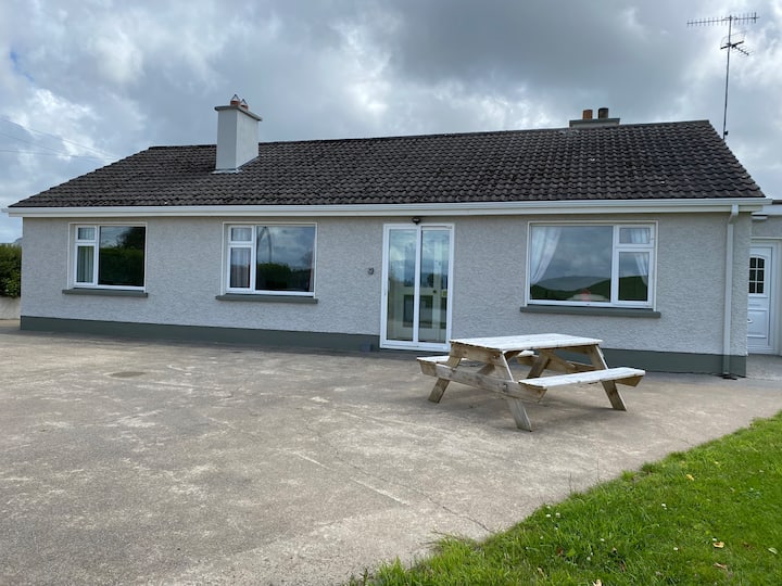 Habitation site in BuncroweyHabitation site · 1.9 mi
 White RockNamed rock · 3.0 mi
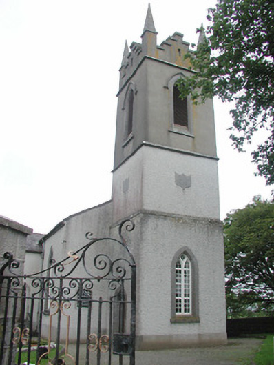 Saint Mary's Church (Kilmacshalgan)church/chapel · 3.0 mi
 Site of Dunneill CastleCastle, unclassified · 3.1 mi
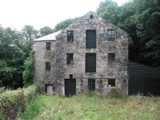 mill (water)mill (water) · 3.1 mi
 Eamonn's TopMountain / peak · 3.4 mi
 AnnatoranMountain / peak · 3.6 mi
 Ballynahowna CastleCastle, tower house · 3.9 mi
 DonaghHeadland · 4.4 mi
 Aughris BeachBeach / strand · 6.5 mi
 Jim Smith MemorialMemorial · 6.8 mi