What is recorded here
On a natural rise in rough hill grazing, on a N-facing slope overlooking Kilmakilloge Harbour. The remains of a rectangular hut site (4.6m E-W; 2.6m N-S) are defined by a mainly gorse and grass-covered bank (Wth 0.8m) of earth and stones and of varying height up to 0.5m. Stones are piled against the interior of the enclosing bank at E.
The above description is derived from the published 'Archaeological Inventory of County Kerry. Volume I: South-West Kerry' (Dublin: Stationery Office, 2009). In certain instances the entries have been revised and updated in the light of recent research.
Date of upload: 30 May 2011
The monument record does not grant public access. Check the route and ask the landowner before entering private land.
- What survives
- Recorded monument
Places near here
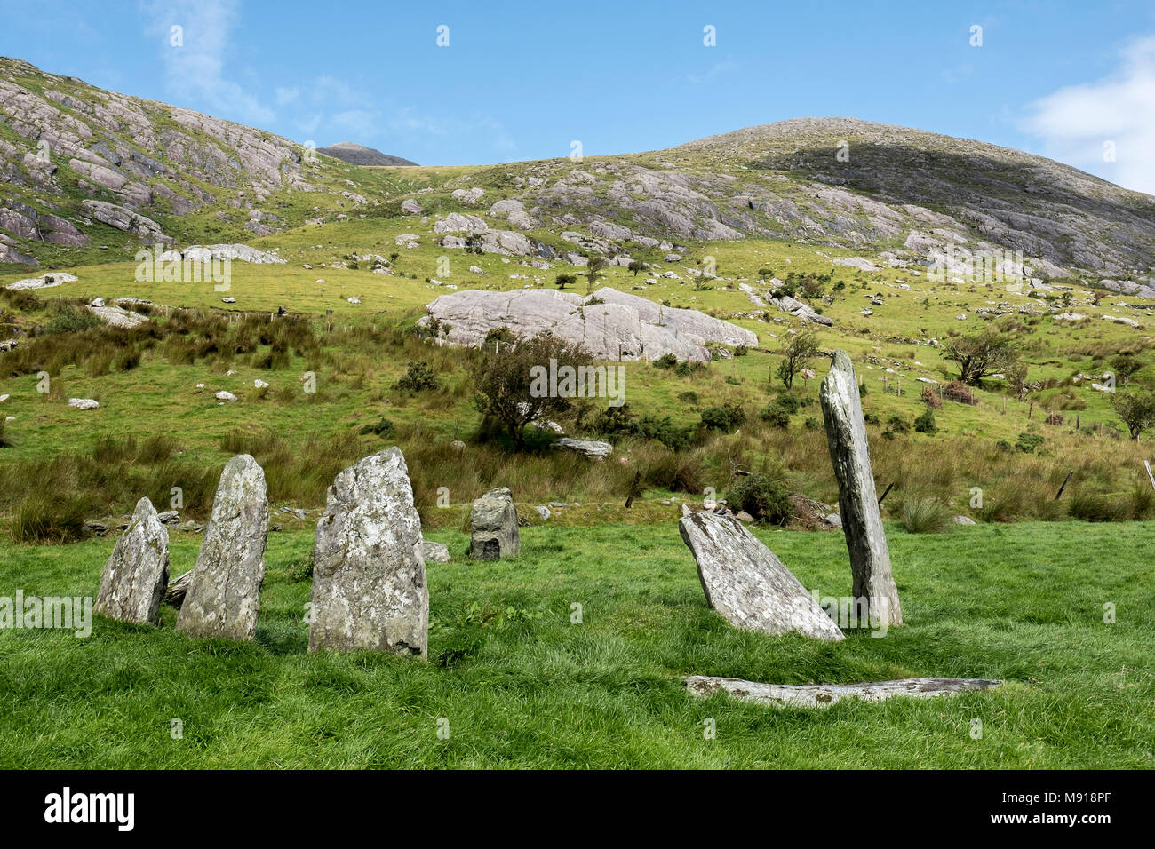 Hut site in CashelkeeltyHut site · 241 yd
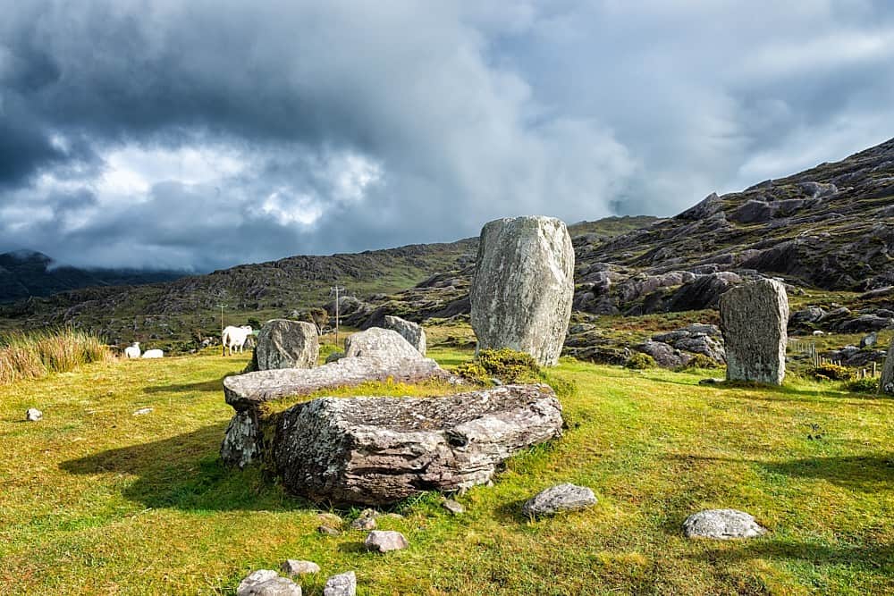 SheepfoldHut site · 628 yd
 CummeennahillanMountain / peak · 1087 yd
 Eskadawer Br.Bridge · 1535 yd
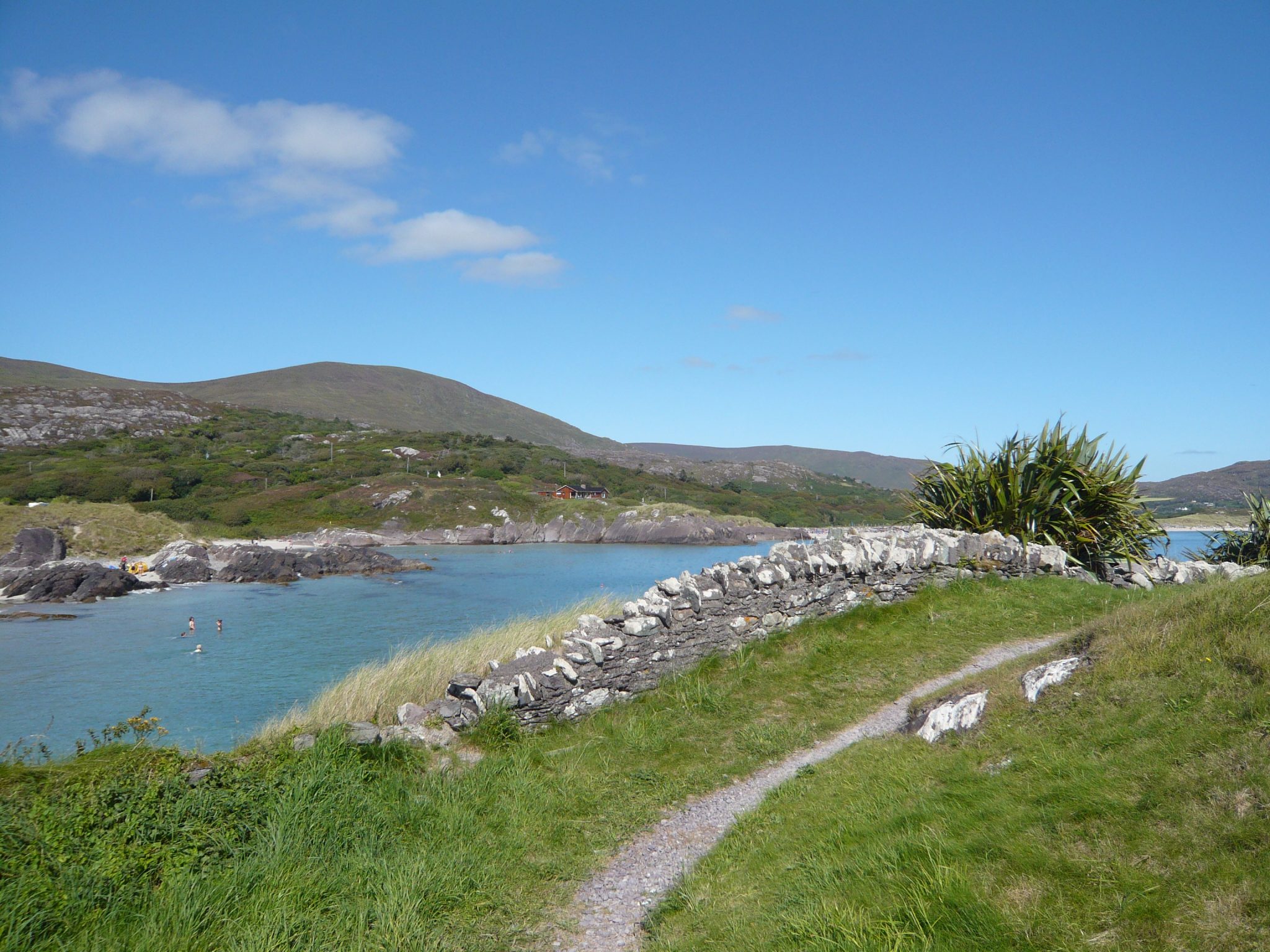 Knocknaveacal South TopMountain / peak · 1.0 mi
 Croanshagh Br.Bridge · 1.1 mi
 Japanese cedarJapanese cedar · 1.5 mi
 Soft Tree-fernSoft Tree-fern · 1.5 mi
 Crane IslandIslet · 1.7 mi
 Duck RockIslet · 1.8 mi
 Ardgroom Pulleen LoopWalking route · 3.8 mi
 Mare's Tail WaterfallViewpoint · 4.6 mi