
What is recorded here
Within the W sector of the interior of a cashel (GA044-021----). This D-shaped house (7.25m N-S; 5.7m E-W) is defined by a low rubble bank. No wall-facing and no obvious entrance feature are visible. It was not possible to determine whether it was bonded into the cashel wall or abutted to it due to collapse.
Compiled by: Olive Alcock
Date of upload: 22 July 2015
The monument record does not grant public access. Check the route and ask the landowner before entering private land.
- What survives
- Recorded monument
Places near here
 Field system in Barnaderg NorthField system · 670 yd
 Barnaderg CastleCastle · 825 yd
 Killererin Church (in Ruins)Church · 1188 yd
 Saint Mary's Catholic Churchbell tower/stand · 1250 yd
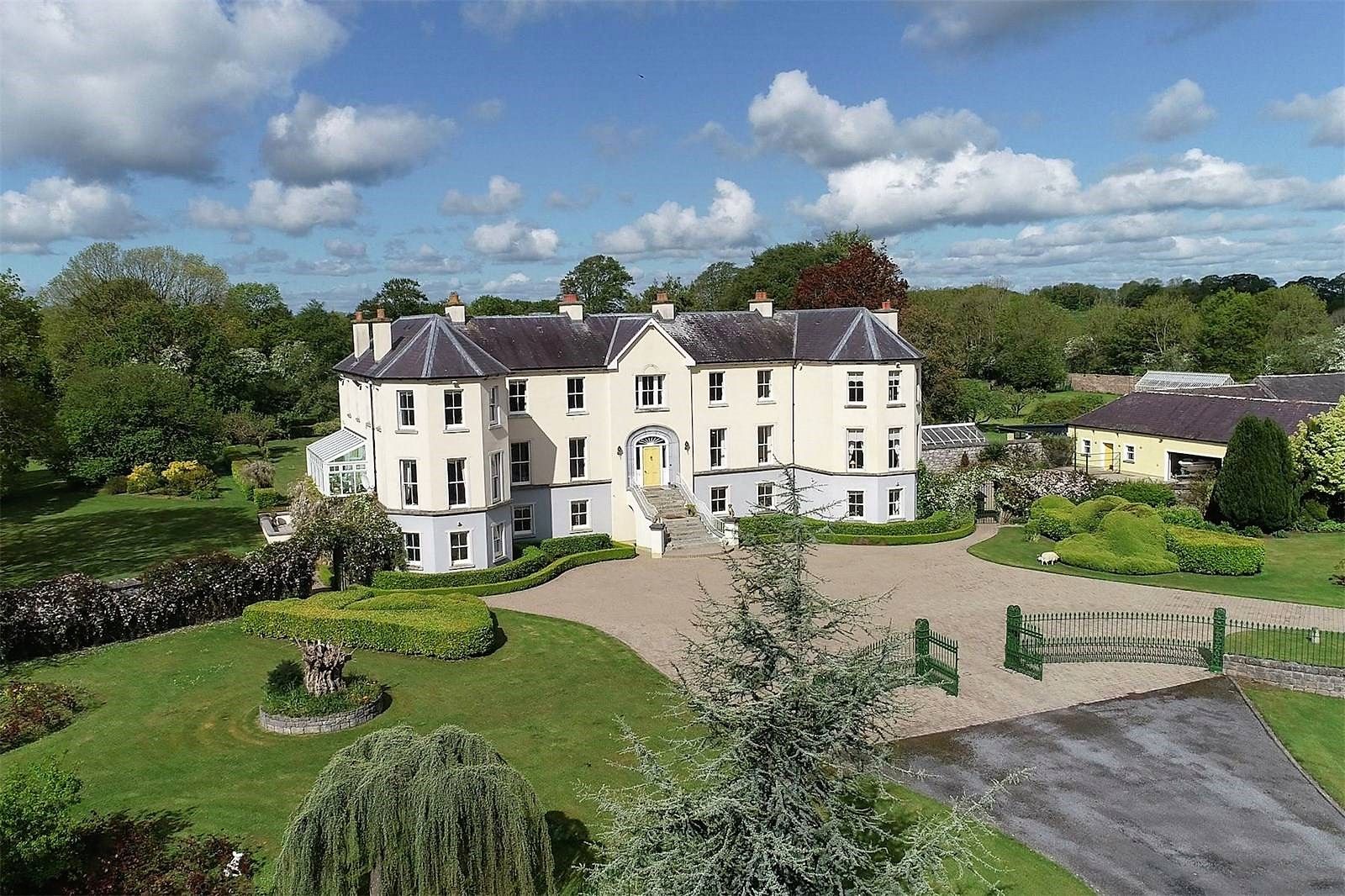 Lisherriddy FortFairy fort / earthen ringfort · 1.3 mi
 Knockmoy AbbeyHeritage attraction · 2.8 mi
 Castle (in ruins)Castle, tower house · 4.0 mi
 European ashEuropean ash · 7.5 mi
 Menlough IRAMemorial · 8.0 mi
 Mass RockNamed rock · 8.6 mi
 KnockmaaWood · 9.2 mi
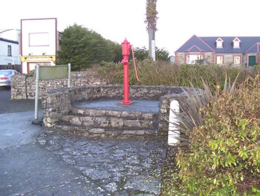 water pumpwater pump · 1463 yd
Other information
Photo: Credit not shown in the picture search · Rights wording not checked; contact us if this picture should be removed