
What is recorded here
In the vicinity of Barnaderg Castle (GA044-018----) which lies c. 300m to SE and a cashel (GA044-017----) c. 50m to NE. Aerial reconnaissance in July 1970 (CUCAP K17 W 57-9) showed an extensive series of grassed-over banks. However, those in the vicinity of the castle are likely to be relatively modern drainage trenches. In contrast, those to SW and W of the enclosure form a series of small irregular fields, covering an area c. 200m NE-SW by c. 150m NW-SE, within which some ridge and furrow cultivation is visible. (Norman and St Joseph 1969, 4-5)
The above description is derived from the published 'Archaeological Inventory of County Galway Vol. II - North Galway'. Compiled by Olive Alcock, Kathy de hÓra and Paul Gosling (Dublin: Stationery Office, 1999).
Updated by: Olive Alcock
Date of revised upload: 15 September 2015
The monument record does not grant public access. Check the route and ask the landowner before entering private land.
- What survives
- Recorded monument
Places near here
 Barnaderg CastleCastle · 327 yd
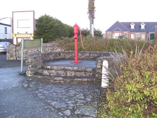 water pumpwater pump · 1198 yd
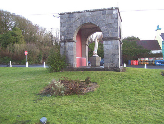 monumentmonument · 1223 yd
 IndicatedSweathouse · 1.4 mi
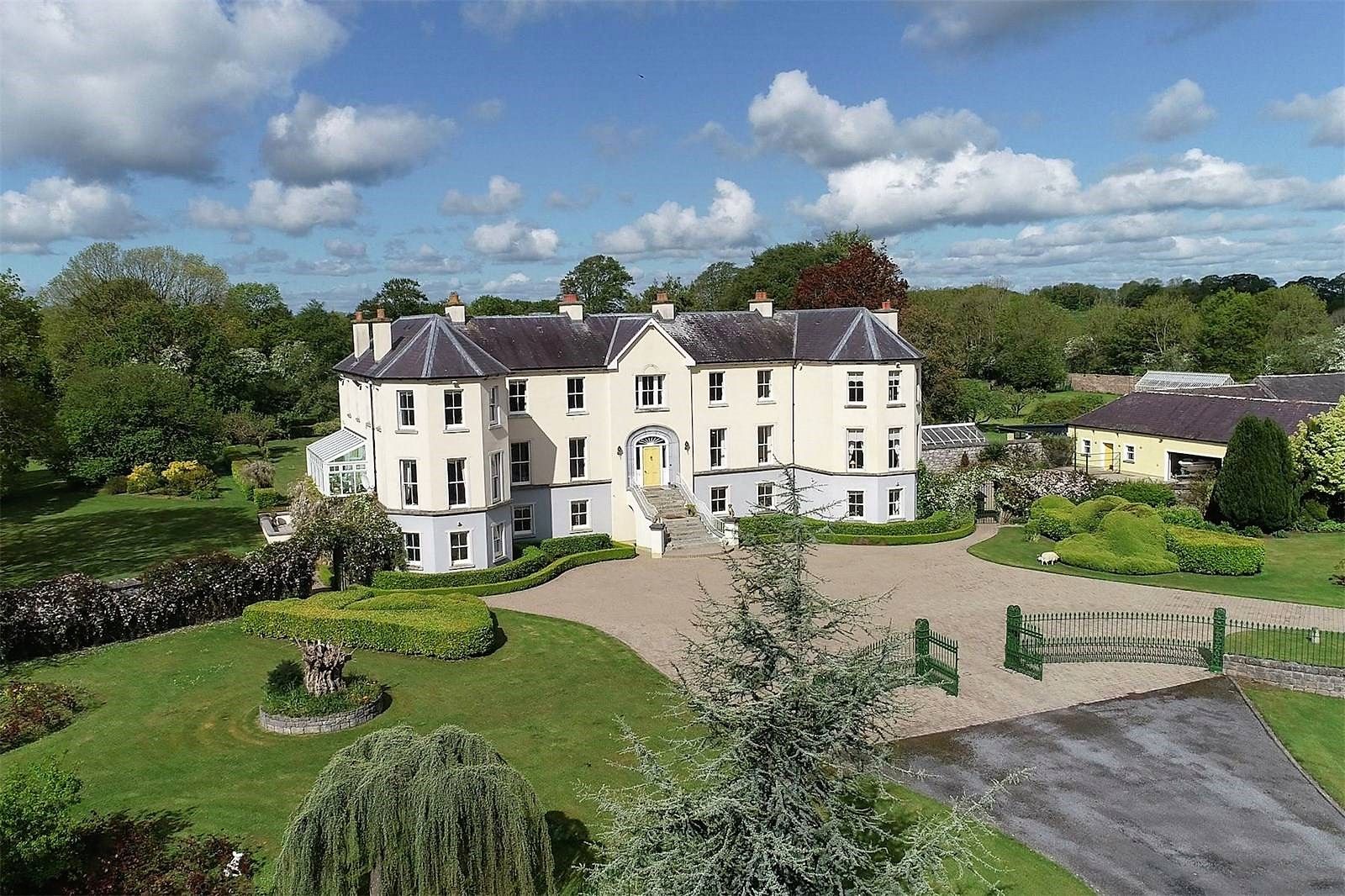 Lisherriddy FortFairy fort / earthen ringfort · 1.6 mi
 Knockmoy AbbeyHeritage attraction · 3.1 mi
 Castle (in ruins)Castle, tower house · 3.9 mi
 European ashEuropean ash · 7.5 mi
 Menlough IRAMemorial · 8.0 mi
 Mass RockNamed rock · 8.7 mi
 KnockmaaWood · 9.4 mi
 Killererin Church (in Ruins)Church · 1458 yd
Other information
Photo: Credit not shown in the picture search · Rights wording not checked; contact us if this picture should be removed