
What is recorded here
At N end of a low ridge, it is situated in a rectangular graveyard, just N of the modern RC church. The visible remains comprise the outline of a very poorly preserved rectangular church (E-W; L c. 17.5-20m, Wth 5.4m). Apart from a section of S wall (L 16m), only the partially grassed-over foundations of W gable and N wall survive. Due to the presence of a stone-built 'clearance cairn' and overgrowth, the location of E gable is unclear: two possible N-S running walls are evident at this end of the church, either of which may mark its location. No architectural features are visible.
The above description is derived from the published 'Archaeological Inventory of County Galway Vol. II - North Galway'. Compiled by Olive Alcock, Kathy de hÓra and Paul Gosling (Dublin: Stationery Office, 1999).
Date of upload: 05 August 2010
The monument record does not grant public access. Check the route and ask the landowner before entering private land.
- What survives
- Recorded monument
Places near here
 Saint Mary's Catholic Churchbell tower/stand · 117 yd
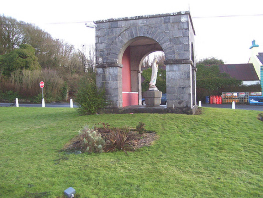 monumentmonument · 1029 yd
 Barnaderg CastleCastle · 1288 yd
 Field system in Barnaderg NorthField system · 1458 yd
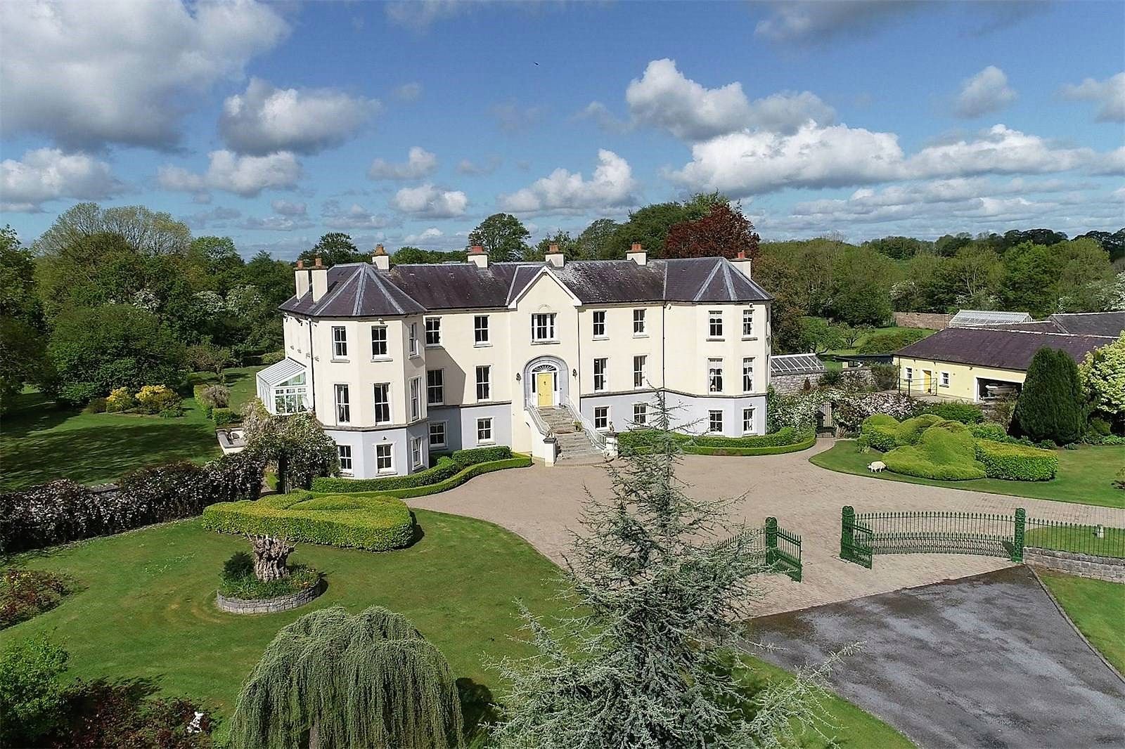 Lisherriddy FortFairy fort / earthen ringfort · 1.4 mi
 Knockmoy AbbeyHeritage attraction · 2.3 mi
 CastleCastle, unclassified · 2.4 mi
 Menlough IRAMemorial · 7.4 mi
 European ashEuropean ash · 8.1 mi
 Mass RockNamed rock · 9.2 mi
 KnockmaaWood · 9.6 mi
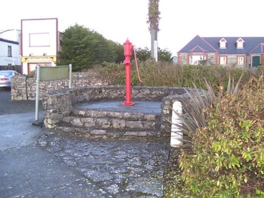 water pumpwater pump · 1058 yd
Other information
Photo: Credit not shown in the picture search · Rights wording not checked; contact us if this picture should be removed