What is recorded here
Some cabins are recorded on the terrier of the Down Survey map of Kilbarrimeaden parish (1655-6) at Lyssechane. They remain unlocated.
Compiled by: Michael Moore.
Date of upload/revision: 7th June, 2011.
The monument record does not grant public access. Check the route and ask the landowner before entering private land.
- What survives
- Recorded monument
Places near here
 Man-made underground passage in Ballygarran (middlethird By., Newcastle Par.)Man-made underground passage · 1183 yd
 Enclosure in Ardeenloun WestEnclosure · 1657 yd
 Site of CastleCastle, unclassified · 1.1 mi
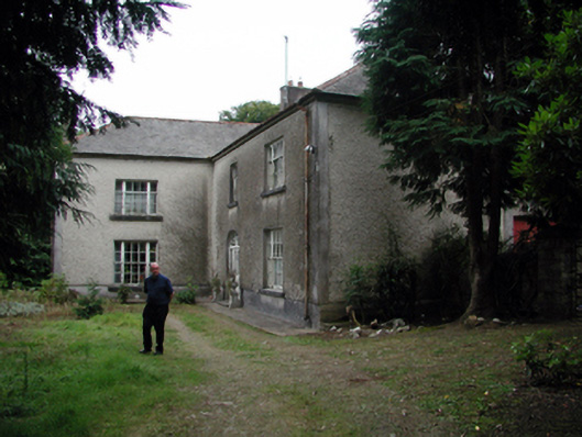 Knockaderry Househouse · 1.3 mi
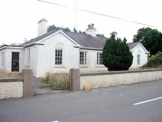 Kill Garda Síochána StationOfficially recorded historic building · 2.1 mi
 St. Martin's WellSpring · 2.7 mi
 St. Bernard's WellSpring · 3.1 mi
 Glenhouse WoodForest · 4.0 mi
 Mandevilles RockCastle, unclassified · 4.2 mi
 8 Arch GalleryGallery · 4.3 mi
 Annestown monumentMemorial · 4.7 mi
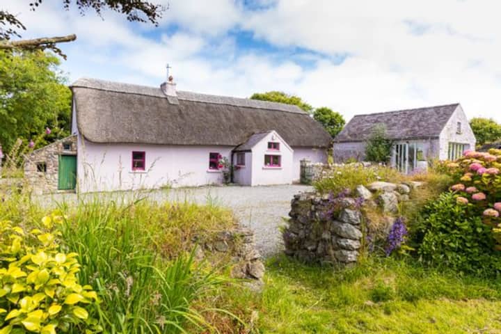 Kilmurrin CoveBeach / strand · 4.7 mi