What is recorded here
Two cabins are depicted on the Down Survey map (1655-8) of Drinagh parish in NLI (ms 725, microfilm P 7384, N 6380) at Jacketstown, where according to the terrier or commentary, Robert Roche owned 69 acres. The location of this structure is not precisely known.
See the attached section of the Down Survey (1656-8) parish map (N at right) reproduced courtesy of the National Library of Ireland (Ms 725)
Compiled by: Michael Moore
Date of upload: 31 May, 2013
The monument record does not grant public access. Check the route and ask the landowner before entering private land.
- What survives
- Recorded monument
Places near here
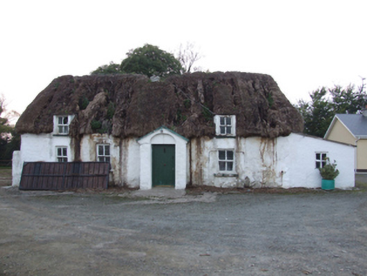 farm housefarm house · 110 yd
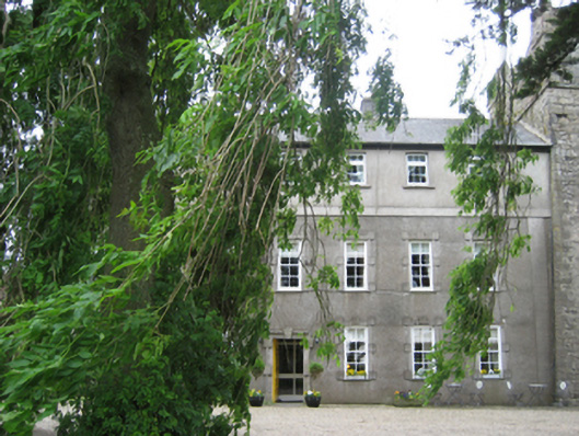 Killiane Castlefarm house · 412 yd
 St. Helens WellHoly well · 453 yd
 Windmill in Ballykilliane,sheepwalkWindmill · 1560 yd
 Site of CastleCastle, unclassified · 1728 yd
 Johnstown Castle Visitor CentreHeritage attraction · 2.4 mi
 Irish Agricultural MuseumMuseum · 2.4 mi
 American SweetgumAmerican Sweetgum · 2.4 mi
 Douglas-firDouglas-fir · 2.4 mi
 CastleCastle, tower house · 2.6 mi
 16th Irish DivisionMemorial · 2.6 mi
 Halla KennyMemorial · 3.0 mi