What is recorded here
The Strafford map of 1636 shows a village with a church in Carron (Simington 1949, Ballintubber). Situated on a gentle N-facing slope in a field known locally as the church field. An area of about 18 acres (c. 7 ha) contains about eight rectangular fields (dims c. 25m x 35m to c. 50m x 50m) defined by earthen banks (Wth 3-5.5m; int. H 0.1-0.2m; ext. H 0.4-0.6m), sometimes with silted drains (Wth 1-2m; D 0.2m), or defined simply by scarps (H 0.2m-0.4m). These fields are at the S end of the complex and are gathered around an open area (Wth c. 10-30m) running NE-SW which may be a roadway. At least 6 house platforms (dims c. 5-10m x c. 3m) defined by scarps (H 0.2m) can be identified close to the road, and an isolated platform (dims 17m NW-SE; 16m NE-SW) at its SW end may be the church (RO040-051002-). This house (dims c. 9m NE-SW; c. 4m NW-SE) is a grass-covered platform. Extending NW of the house platforms and smaller fields are four larger fields (dims 35-50m x 90-100m).
Compiled by: Michael Moore
Date of upload: 24 August 2010
The monument record does not grant public access. Check the route and ask the landowner before entering private land.
- What survives
- Recorded monument
Places near here
 Church in CarrowroeChurch · 70 yd
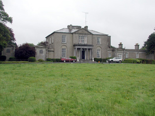 Carrowroe Parkcountry house · 355 yd
 Big IslandForest · 963 yd
 Little IslandForest · 1009 yd
 IndicatedFairy fort / earthen ringfort · 1230 yd
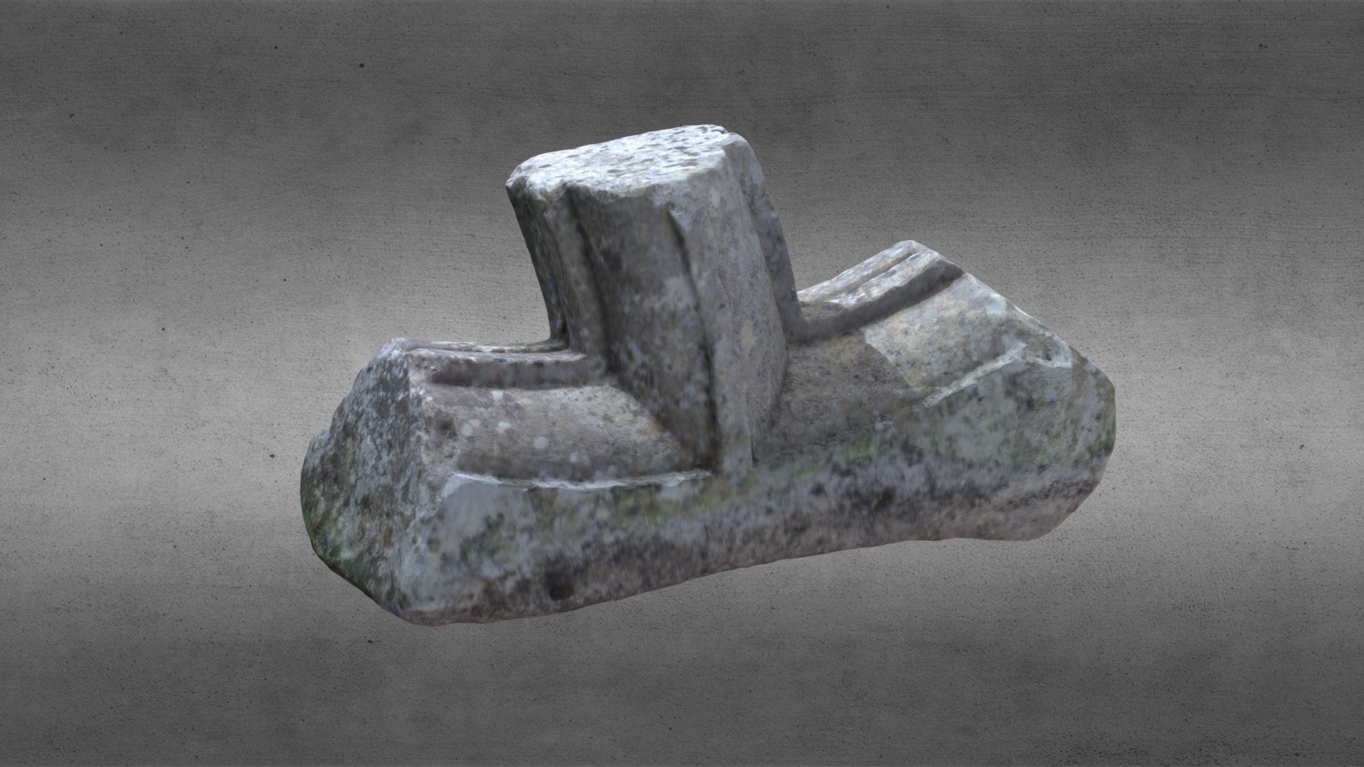 St. Comans VatHoly well · 1.2 mi
 Roscommon CastleCastle · 1.6 mi
 Hangman's HillMountain / peak · 4.0 mi
 Cruit BayBay · 4.9 mi
 Galey CastleCastle, tower house · 5.0 mi
 Galey BayBay · 5.1 mi
 CastleHouse, fortified house · 5.5 mi