What is recorded here
Barrow is a barrow (unclassified) in Hopestown, County Westmeath, Ireland. The unclassified earthwork is situated in undulating pasture approximately fifty metres south of Hopestown Castle and its bawn. Larkin’s 1808 map of County Westmeath depicts the earthwork, although it is not shown on the 1837 edition of the six-inch Ordnance Survey map or the revised 1913 edition of the twenty-five-inch map. A 1970 description noted that no surface remains were visible, and a small circular-shaped earthwork visible on Digital Globe aerial photography may be the feature depicted on Larkin’s map.
Situated in undulating pasture. Hopestown Castle (WM018-140----) and bawn (WM018-140001-) lie c. 50m to N. Earthwork depicted on Larkin’s 1808 Map of County Westmeath (NLI, MS 46,580 ). Not depicted on the 1837 ed. OS 6-inch map or the revised 1913 ed. OS 25-inch map. Described in 1970 as no surface remains visible. A small circular-shaped earthwork earthwork visible today on Digital Globe aerial photography may be the earthwork depicted on Larkin's map of County Westmeath.
Compiled by: Alison McQueen, Vera Rahilly and Caimin O’Brien
Date of upload: 12 February 2019
The monument record does not grant public access. Check the route and ask the landowner before entering private land.
- What survives
- Recorded monument
Places near here
 OutlinedBawn · 98 yd
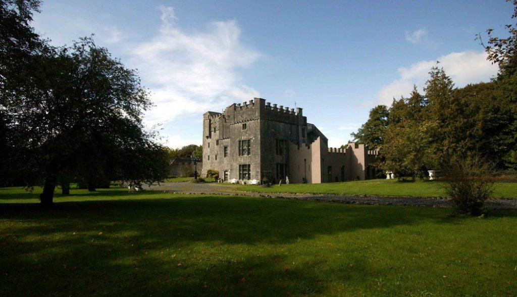 Castle (in Ruins)Castle, tower house · 143 yd
 Hopestown Church (in Ruins)Church · 499 yd
 gates/railings/wallsgates/railings/walls · 687 yd
 Partially hachuredFairy fort / earthen ringfort · 691 yd
 Ecclesiastical enclosure in Kilpatrick (moyashel & Magheradernon By.)Ecclesiastical enclosure · 1384 yd
 WestmeathVisitor information · 2.8 mi
 Srudarra IslandIslet · 3.3 mi
 Carrickphilbin IslandIslet · 3.6 mi
 ShawbrookForest · 11 mi
 Common AlderCommon Alder · 11 mi
 Kilmalady HillMountain / peak · 12 mi