What is recorded here
Fairy fort / earthen ringfort in Heathstown (farbill By.) is a fairy fort or earthen ringfort in Heathstown (farbill By.), County Westmeath, Ireland. A 1971 account described the site as a bivallate enclosure measuring 47.6 metres east-west and 46 metres north-south, consisting of an inner bank, an intervening fosse, and a steep outer bank. The inner bank was best preserved from west-southwest through west to northwest and from east-southeast through southeast to south, while an entrance at the east comprised a gap in the inner bank, a gap in the outer bank, and a slight causeway.
Situated on a rise of ground, in gently undulating pasture, with good views in all directions. Depicted on the revised 1913 ed. OS 25-inch map as a circular-shaped earthwork. Bivallate enclosure described in 1971 as a circular-shaped area (dims. 47.6m E-W; 46m N-S) enclosed by an inner bank, an intervening fosse and an outer bank. The inner bank is high on the exterior and is best preserved from WSW-W-NW and from ESE-SE-S and is almost reduced to a scarp elsewhere, which is defaced at N and S. There is a wide intervening fosse which is almost completely obscured by thorn bushes. There is a steep outer bank which may be a later feature but it is difficult to be certain as it is also obscured by thorn bushes. A gap (Wth at top 5.2m; basal Wth 1.1m) in the inner bank, a gap (Wth at top 2.9m; basal Wth 1.5m) in the outer bank and a slight causeway (Wth at top 1.9m; overall Wth 4m; H 0.3m) at E represents the entrance. The top of the causeway is lower than the outer upper edge of the fosse. The interior has a slight SSW-facing slope and has cultivation ridges running NNE-SSW. Monument is visible today as a roughly circular-shaped bivallate tree-lined earthwork on Digital Globe aerial photography.
Compiled by Alison McQueen, Vera Rahilly and Caimin O’Brien.
Date of upload: 06 November 2019
The monument record does not grant public access. Check the route and ask the landowner before entering private land.
- What survives
- Recorded monument
Places near here
 Heathstown CastleCastle, tower house · 404 yd
 OutlinedFairy fort / earthen ringfort · 795 yd
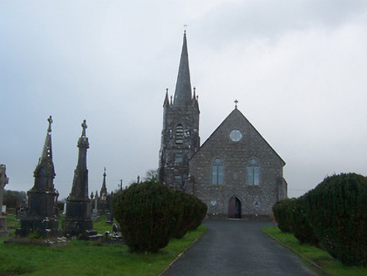 Saint Agnes's Catholic Churchchurch/chapel · 806 yd
 Enclosure in Hightown or BalloughterEnclosure · 867 yd
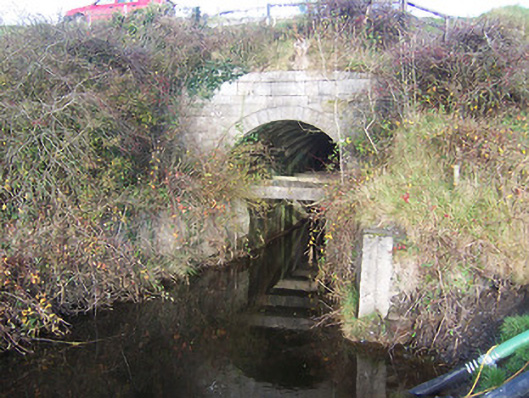 aqueductaqueduct · 1487 yd
 CastleCastle, unclassified · 1.9 mi
 Abandoned Kinnegad CanalWood · 7.9 mi
 ScregganWood · 8.1 mi
 Croppies' GraveMemorial · 8.8 mi
 Partially hachuredFairy fort / earthen ringfort · 1378 yd
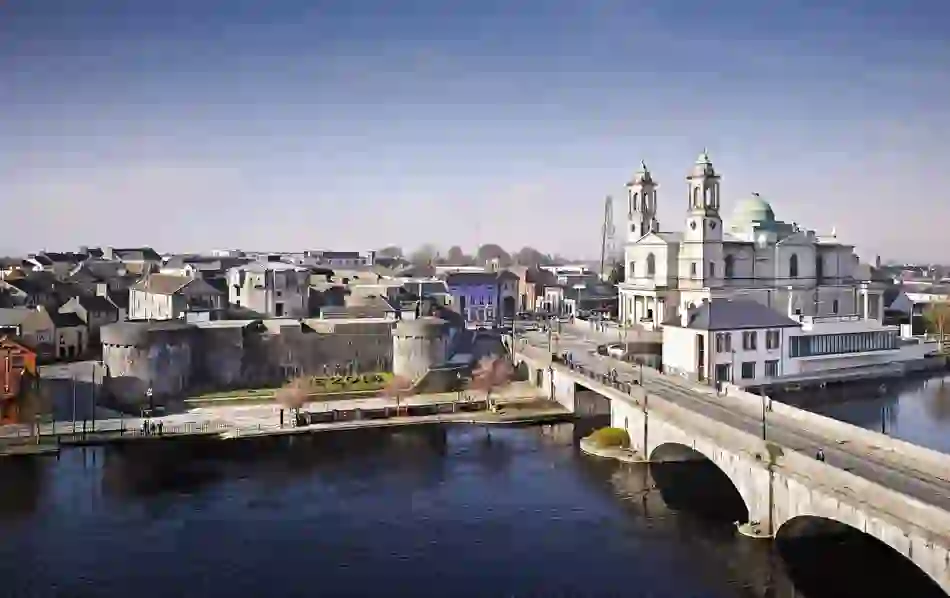 Man-made underground passage in BanagherMan-made underground passage · 1418 yd
 CrossCross, Wayside cross · 1561 yd