What is recorded here
As part of the M7 Heath–Mayfield Motorway Scheme, a road bridge was to be constructed crossing the River Barrow 3km SSW of Monasterevin. During archaeological testing (Licence No. 03E0691 www.excavations.ie Accessed 28 August 2012) a spread of burning, was identified under spoil heaps of material dredged from the river. During later monitoring work (Excavation licence no. 03E0623) a hearth (0.9m E-W; 0.52m N-S; D 0.80m) was identified, consisting of a spread of ash and patches of oxidised clay. A sub-oval post-hole (0.28m E-W; 0.2m N-S; D 0.14m) was cut into the hearth and was filled by a mid-brown clayey silt with lenses of oxidised clay. The N end of the hearth had been cut by a modern drain. A spread of heavily oxidised clay and charcoal (1.7m N-S; 0.6m E-W; D 0.12m) was found 69m E of the hearth and contained fragments of a slag-like material. Metal detecting and monitoring of the remainder of the dredged spoil within the road-line was undertaken, but no additional sites or artefacts of archaeological significance were identified.
Compiled by: Gearóid Conroy
Date of upload: 29 August 2012
The monument record does not grant public access. Check the route and ask the landowner before entering private land.
- What survives
- Recorded monument
Places near here
 Dangan's WoodWood · 410 yd
 Green's WoodForest · 1110 yd
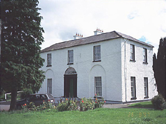 Jamestown Househouse · 1545 yd
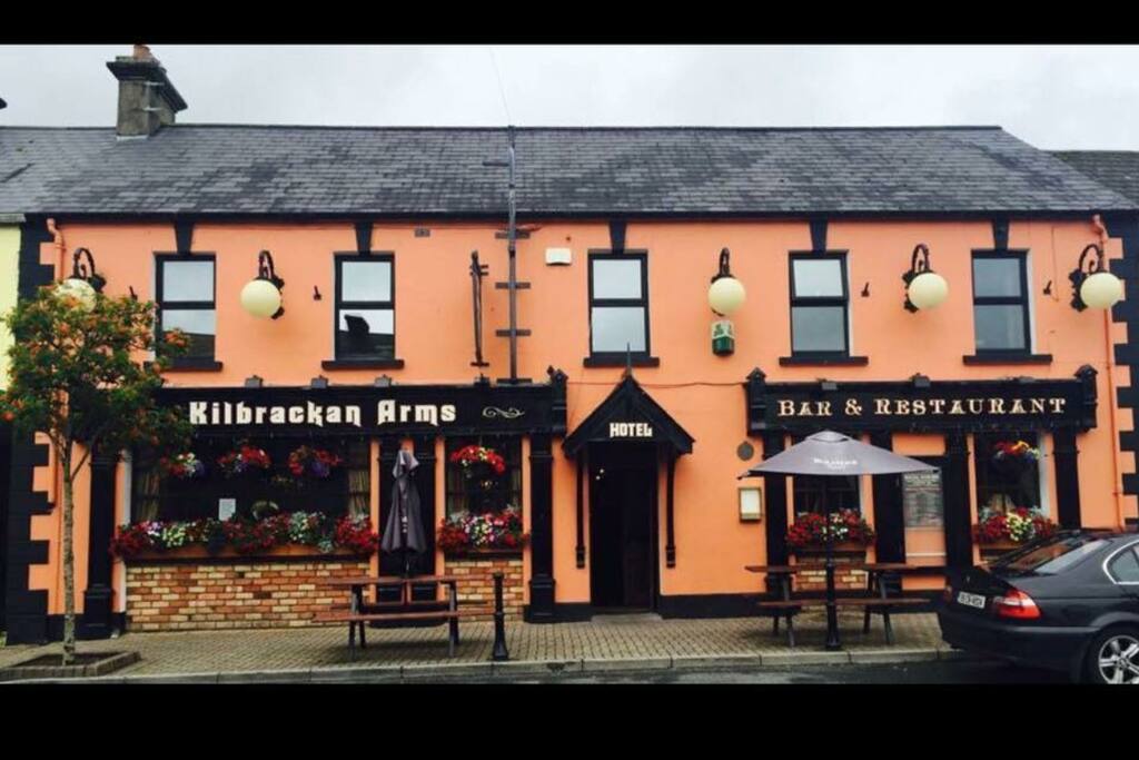 Enclosure in KilbrackanEnclosure · 1.1 mi
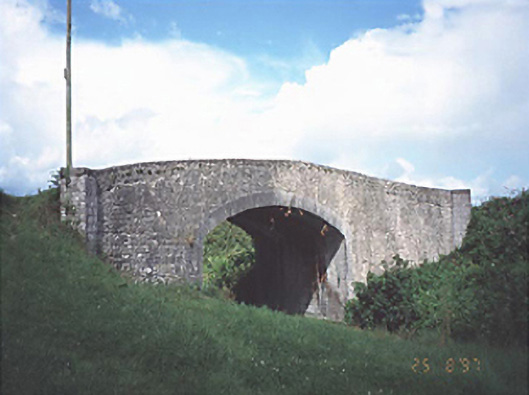 Fisherstown Bridgebridge · 1.1 mi
 IndicatedHoly well · 1.3 mi
 OutlinedCastle, unclassified · 2.7 mi
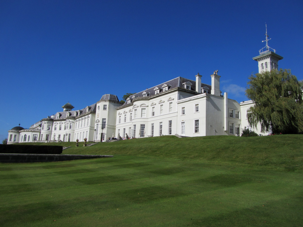 Cloney CastleCastle, unclassified · 3.8 mi
 Church (in Ruins), GraveyardChurch · 4.1 mi
 Emo Courtfolly · 5.0 mi
 Bog Lake WalkWalking route · 6.2 mi
 Bog Oak WalkWalking route · 6.5 mi