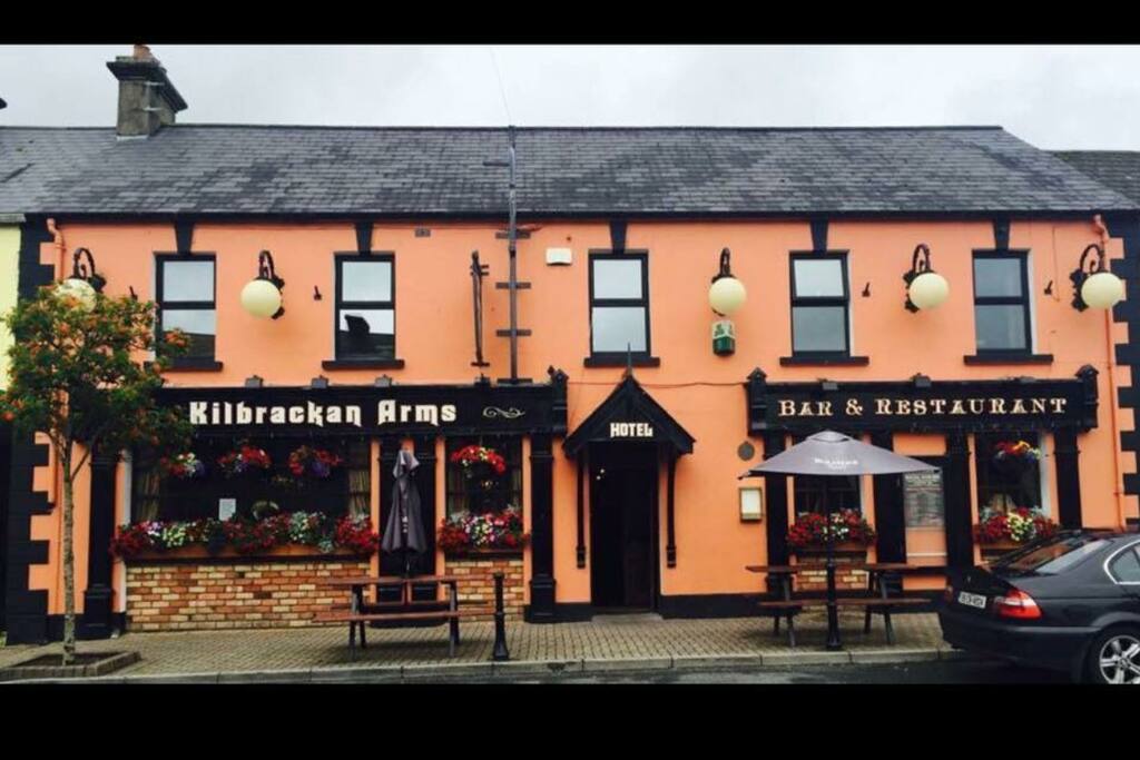
What is recorded here
Aerial photograph (GB89.AI.36) shows cropmark of an irregular curvilinear enclosure (incomplete) defined by a fosse and with an entrance facing SW. Barrett , G.F. (2002-) 'Flights of discovery: archaeological air survey in Ireland, 1989-2000' in The Journal of Irish Archaeology, XI, 2002., pp. 1-30.
The monument record does not grant public access. Check the route and ask the landowner before entering private land.
- What survives
- Recorded monument
Places near here
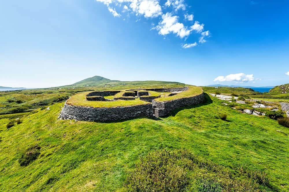 Enclosure in KilbrackanEnclosure · 477 yd
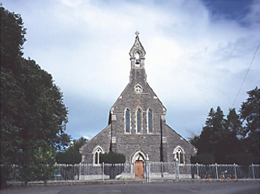 Catholic Church of the Sacred Heartchurch/chapel · 773 yd
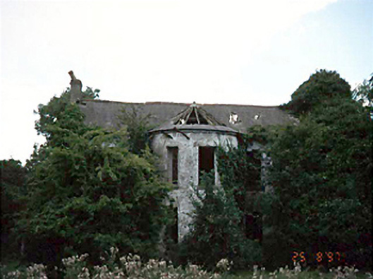 Fisherstown Househouse · 909 yd
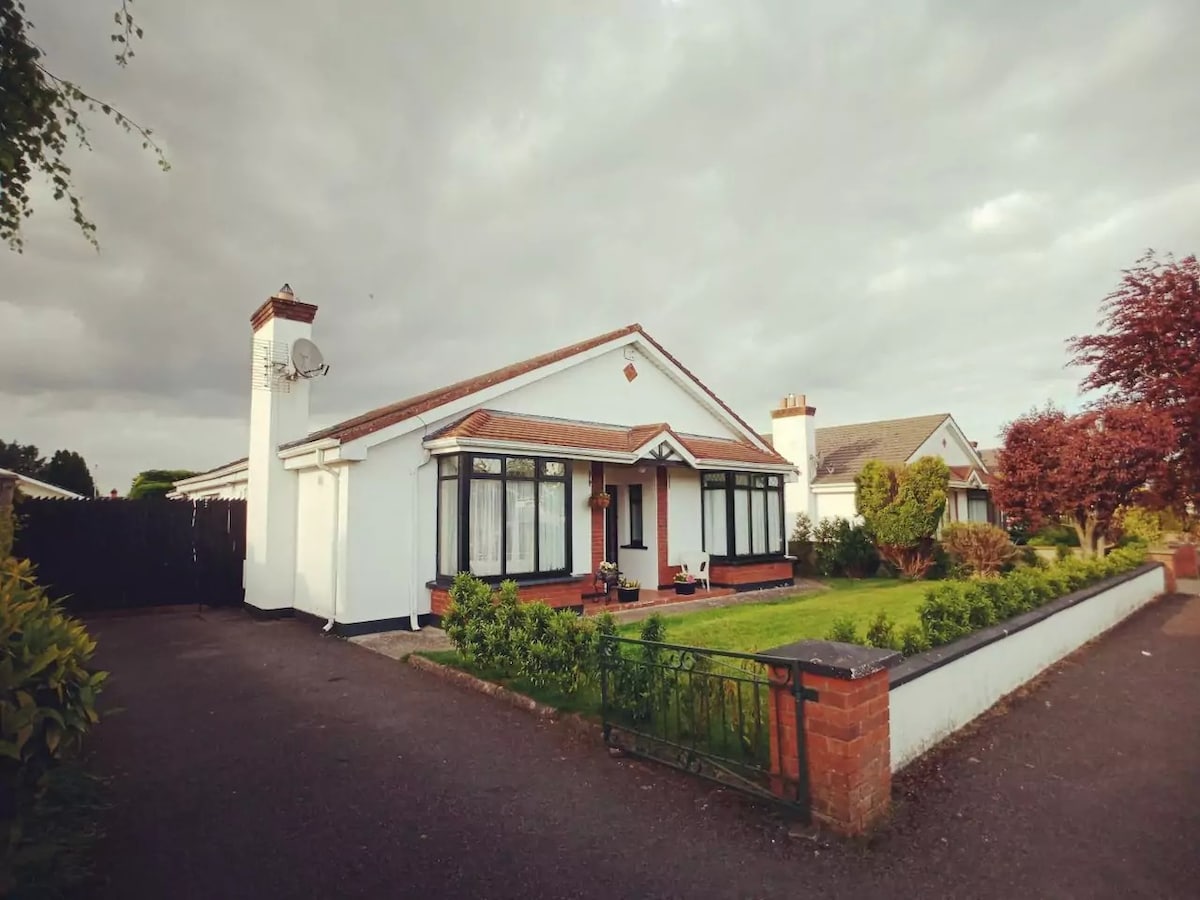 Enclosure in FisherstownEnclosure · 1.2 mi
 Dangan's WoodWood · 1.3 mi
 Green's WoodForest · 1.3 mi
 OutlinedCastle, unclassified · 1.6 mi
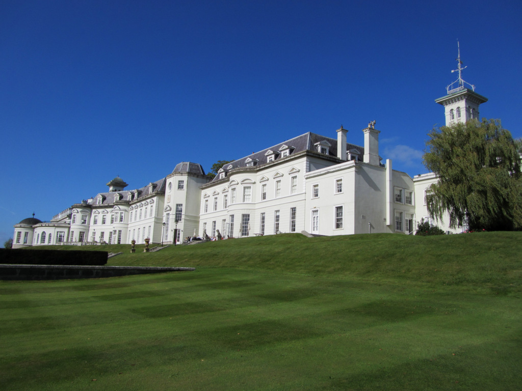 Cloney CastleCastle, unclassified · 3.2 mi
 Church (in Ruins), GraveyardChurch · 4.3 mi
 Emo CourtHeritage attraction · 4.6 mi
 Bog Lake WalkWalking route · 6.6 mi
 Bog Oak WalkWalking route · 6.9 mi
Other information
Photo: Credit not shown in the picture search · Rights wording not checked; contact us if this picture should be removed