What is recorded here
Fairy forts are not fantasy; they are ordinary human places misread because they stopped being homes before written records began. In Headford, a shallow D-shaped scarp still marks where people lived, worked and left behind a shape the land never fully forgot.
Located in improved but ungrazed pasture, on a gentle E-facing slope. It was first identified by Susan Curran as part of an M.A. thesis with University College Dublin using a LiDAR survey dataset commissioned by Leitrim County Council and the National Roads Authority. This is a D-shaped area (dims 28m E-W; 24m N-S) defined by a scarp (at S: Wth 3m; H 0.4m) SSE-SW and NW-NNE, but it merges into the slope SW-NW. The perimeter is slightly truncated by a silted E-W drain at N and by a N-S field bank at E. There is no visible fosse or identifiable entrance.
Compiled by: Michael Moore
Date of upload: 11 May, 2015
The monument record does not grant public access. Check the route and ask the landowner before entering private land.
- What survives
- Recorded monument
Places near here
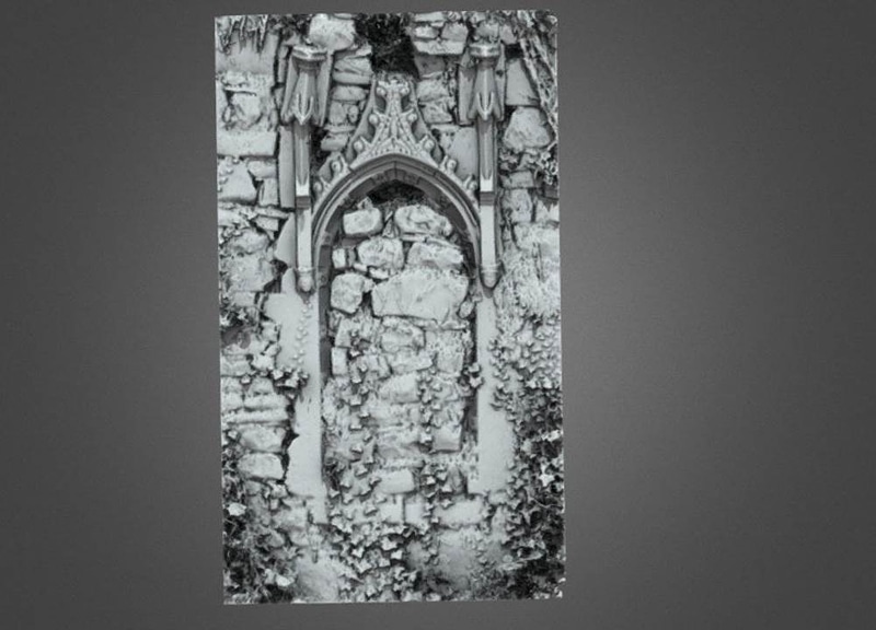 Enclosure in AnnaduffEnclosure · 1302 yd
 IndicatedFairy fort / earthen ringfort · 1653 yd
 Drumsna National Schoolschool · 1.1 mi
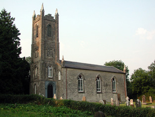 Saint Anne's Church (Annaduff)church/chapel · 1.2 mi
 Tom Dunphy MemorialMemorial · 1.2 mi
 Declaration of IndependenceMemorial · 1.3 mi
 Wildlife AreaNature reserve · 1.6 mi
 Site of Dangan CastleCastle, unclassified · 3.7 mi
 CastlecarraCastle, unclassified · 3.8 mi
 Leabaidh DermotCave · 4.6 mi
 InishmoylinIslet · 4.6 mi
 Turlough O'Carolan MonumentHeritage attraction · 4.6 mi