
What is recorded here
Located towards the top of a S-facing slope. A circular embanked enclosure (ext. diam. c. 40m) is depicted on the 1835 edition of the OS 6-inch map where it is described as a ‘Fort’, and it is depicted as small field on the 1945 revision. This is a circular earthen platform (diam. c. 30m) defined by a scarp which is best preserved E-S (H. 0.5-1m). The monument was landscaped as a lawn in 1991 (SMR) but had been truncated into the D-shaped SE quadrant of a rath by 2000 (OSAP). Rath (LE031-070----) is c. 100m to the W.
The above description is derived from 'The Archaeological Inventory of County Leitrim' compiled by Michael J. Moore (Dublin: Stationery Office, 2003). In certain instances the entries have been revised and updated in the light of recent research.
Compiled by: Michael Moore
Date of revised upload: 16 October 2019
The monument record does not grant public access. Check the route and ask the landowner before entering private land.
- What survives
- Recorded monument
Places near here
 Drumsna National Schoolschool · 270 yd
 Declaration of IndependenceMemorial · 780 yd
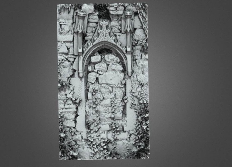 Enclosure in AnnaduffEnclosure · 810 yd
 Catholic Church of the Immaculate Conceptionchurch/chapel · 859 yd
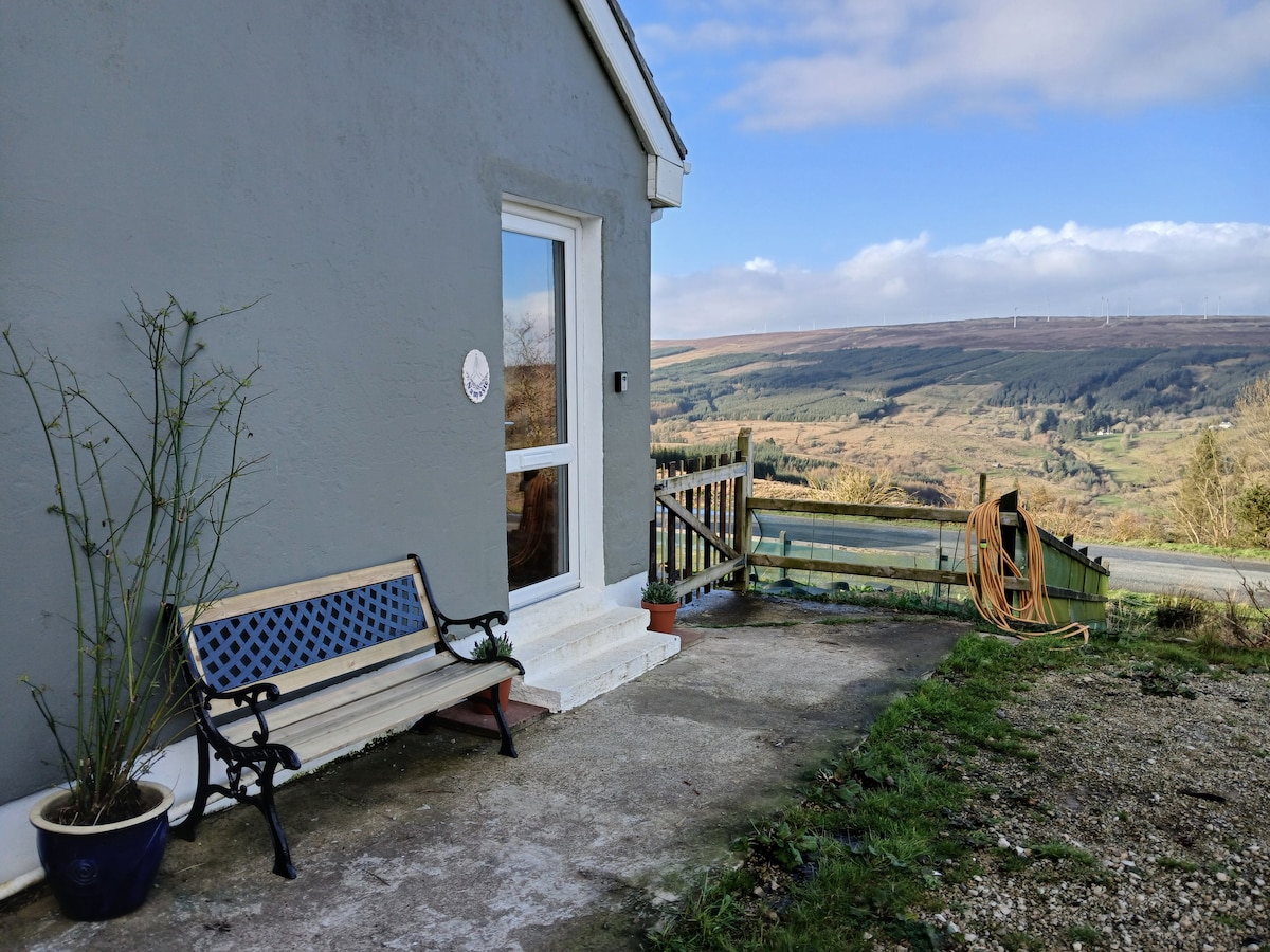 Enclosure in DrumsnaEnclosure · 978 yd
 Robert Strawbridge MemorialMemorial · 981 yd
 Wildlife AreaNature reserve · 1410 yd
 Site of Dangan CastleCastle, unclassified · 3.0 mi
 CastlecarraCastle, unclassified · 3.1 mi
 Moon RiverHeritage attraction · 4.0 mi
 InishmoylinIslet · 4.4 mi
 Leabaidh DermotCave · 4.5 mi
Other information
Photo: Credit not shown in the picture search · Rights wording not checked; contact us if this picture should be removed