What is recorded here
Situated at the bottom of the NE-facing slope of a N-S drumlin ridge and c. 60m from the SE angle of Gortconnellan or Spa Lough. It is depicted only on the 1945 edition of the OS 6-inch map as a small rectangular enclosure. This is an overgrown circular area (diam. c. 20m) defined by a small S-N stream NE-SW, and by a low scarp elsewhere. Moore (Dublin: Stationery Office, 2003).
From the National Monuments Service (Archaeological Survey of Ireland) record LE032-052
The monument record does not grant public access. Check the route and ask the landowner before entering private land.
- What survives
- Recorded monument
Places near here
Photo credits
- National Inventory of Architectural Heritage
- Reading Tom, Wikimedia Commons · CC BY 2.0
IndicatedFairy fort / earthen ringfort · 810 yd Drumsna National SchoolSchool · 997 ydSaint Anne's Church (Annaduff)Church/chapel · 1002 ydEcclesiastical enclosure in AnnaduffEcclesiastical enclosure · 1034 ydTom Dunphy MemorialMemorial · 1053 ydDeclaration of IndependenceMemorial · 1233 ydWildlife AreaNature reserve · 1478 ydSite of Dangan CastleCastle, unclassified · 3.0 miInishmoylinIslet · 4.1 miCoarse IslandForest · 4.3 miMoon RiverHeritage attraction · 4.4 miCavan & Leitrim RailwayMuseum · 5.6 mi
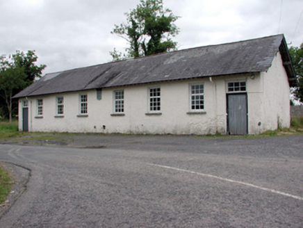 Drumsna National SchoolSchool · 997 yd
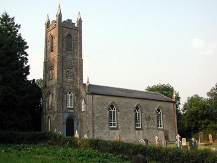 Saint Anne's Church (Annaduff)Church/chapel · 1002 ydEcclesiastical enclosure in AnnaduffEcclesiastical enclosure · 1034 ydTom Dunphy MemorialMemorial · 1053 ydDeclaration of IndependenceMemorial · 1233 ydWildlife AreaNature reserve · 1478 ydSite of Dangan CastleCastle, unclassified · 3.0 miInishmoylinIslet · 4.1 miCoarse IslandForest · 4.3 miMoon RiverHeritage attraction · 4.4 mi
 Cavan & Leitrim RailwayMuseum · 5.6 mi
More archaeology and monuments in County Leitrim · All of County Leitrim
What do you know about this place?