What is recorded here
Half a kilometre from the village, a shallow ring of earth still marks the slope where Headford people once drew a line around their own lives. The fort is small enough to walk across in a minute, yet it has survived plough, rain and forgetting because it sits on a drumlin that leans toward the sky like a shoulder. In a county scattered with fairy forts, this one may have housed children, arguments, bread and fear of darkness. The exact truth has thinned like soil, but the circle remains clear enough to imagine the hands that shaped it.
Located on the SW-facing slope of a drumlin. A circular embanked enclosure is depicted on the 1835 edition of the OS 6-inch map, and it is represented as the hachured arc of a bank SW-W-NE on the 1945 revision. This is a grass-covered subcircular area (dims c. 32m E-W; c. 27m N-S) defined by a slight scarp.
The above description is derived from 'The Archaeological Inventory of County Leitrim' compiled by Michael J. Moore (Dublin: Stationery Office, 2003). In certain instances the entries have been revised and updated in the light of recent research.
Compiled by: Michael Moore
Date of upload: 23 September 2008
Amended; 5 December 2019
The monument record does not grant public access. Check the route and ask the landowner before entering private land.
- What survives
- Recorded monument
Places near here
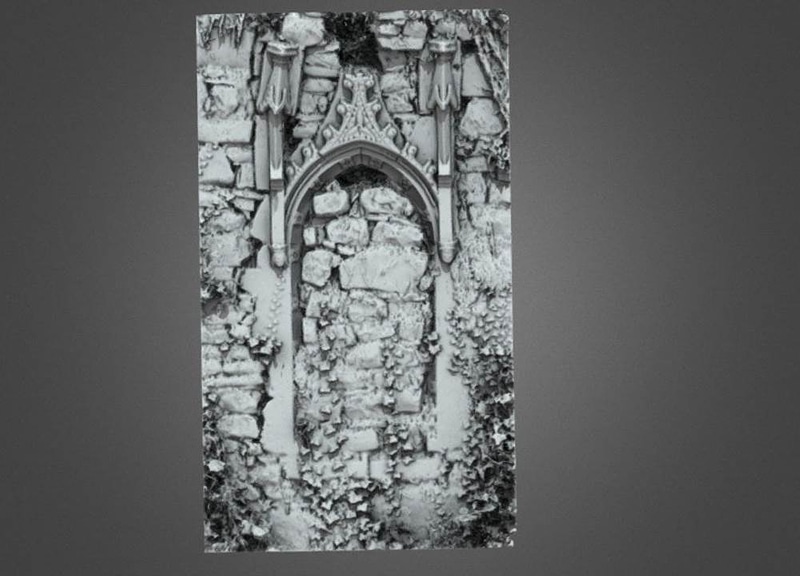 Enclosure in AnnaduffEnclosure · 1057 yd
 IndicatedFairy fort / earthen ringfort · 1426 yd
 Drumsna National Schoolschool · 1695 yd
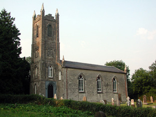 Saint Anne's Church (Annaduff)church/chapel · 1.1 mi
 Tom Dunphy MemorialMemorial · 1.1 mi
 Declaration of IndependenceMemorial · 1.2 mi
 Wildlife AreaNature reserve · 1.4 mi
 Site of Dangan CastleCastle, unclassified · 3.6 mi
 CastlecarraCastle, unclassified · 3.7 mi
 InishmoylinIslet · 4.5 mi
 Leabaidh DermotCave · 4.6 mi
 Coarse IslandForest · 4.7 mi