
What is recorded here
Marked as a fort at Canmucky townland on a 1717 Bateman map (NLI, MSS 6148, 5). but it is not marked on the 1840 ed. of the OS 6-inch map. It is situated in mixed woodland at the edge of a severe S-facing slope overlooking the W-E Owenasack stream, which is c. 160m distant. This is a circular area (diam. 27m) defined by an earthen bank (at SW: Wth 5m; int. H 1m; ext. H 1.6m) SW-NE where it is incorporated into a field bank, and it is best preserved (Wth 7m; int. H 2m; ext. H 2.2m) N-NE where an outer round-bottomed fosse (Wth of top 6m; D 1.2m) survives. There is no evidence of the perimeter NE-SW, or of the entrance.
The above description is derived from the published 'Archaeological Inventory of County Waterford' (Dublin: Stationery Office, 1999). In certain instances the entries have been revised and updated in the light of recent research.
Revised by: Michael Moore
Date of upload: 02 October 2011
The monument record does not grant public access. Check the route and ask the landowner before entering private land.
- What survives
- Recorded monument
Places near here
 Headborough Housefarmyard complex · 590 yd
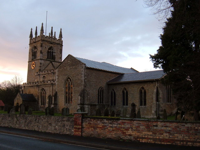 Church in Killeenagh NorthChurch · 1129 yd
 Burial GroundGraveyard · 1.0 mi
 Tobar a TuraisHoly well · 1.7 mi
 CastleCastle, tower house · 1.7 mi
 Kilnacarriga Castle (in ruins)Castle, unclassified · 2.0 mi
 Bishopstown WoodForest · 3.1 mi
 LismoreMemorial · 4.8 mi
 Tallow HillMountain / peak · 4.8 mi
 European YewEuropean Yew · 4.9 mi
 Lismore Castlefarm house · 5.1 mi
 Cottage IslandIslet · 5.2 mi
Other information
Photo: Credit not shown in the picture search · Rights wording not checked; contact us if this picture should be removed