
What is recorded here
Indicated is a circular crannog on wet Offaly bogland, marked by a sixty-metre grove west of Derrynaslingue wood. People may have stood there in rain, tying rope or listening for animals in the trees. The bog kept the shape long after hands left it.
Situated on wet poorly drained bogland. Outline of circular shaped tree-planted area (approx. diam. 60m) at W end of coniferous tree plantation visible on Digital Globe aerial photograph taken 20/03/2019. Circular grove of trees standing on bogland to the W of Derrynaslingue wood depicted on revised ed. OS 6-inch map.
See attached image of Google Earth photograph taken 18/01/2019
Compiled by: Caimin O'Brien based on details provided by Ed O'Donovan
Date of upload: 09 April 2019
The monument record does not grant public access. Check the route and ask the landowner before entering private land.
- What survives
- Recorded monument
Places near here
 Derryad WoodForest · 1185 yd
 Enclosure in Clonad (geashill By.)Enclosure · 1253 yd
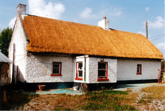 farm housefarm house · 1306 yd
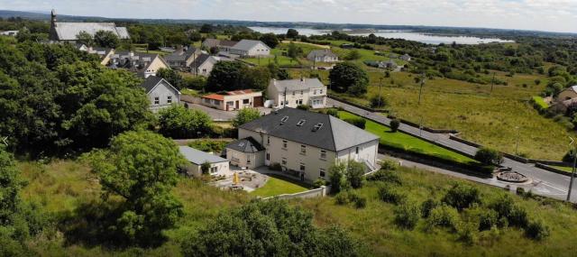 Enclosure in Gorteen (geashill By.)Enclosure · 1572 yd
 Bridge WoodWood · 1.3 mi
 Red HillMountain / peak · 1.4 mi
 Ancient RoadRoad, road/trackway · 1.4 mi
 Scrub HillMountain / peak · 1.4 mi
 Mick the MillerMemorial · 2.3 mi
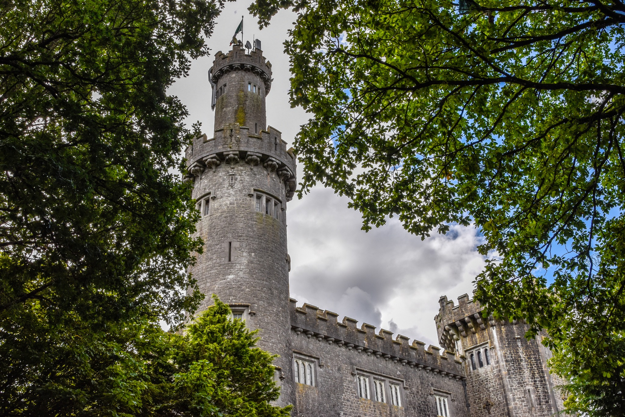 CastleCastle, unclassified · 2.7 mi
 Ardnagross WellSpring · 3.2 mi
 Christ's WellSpring · 3.3 mi
Other information
Photo: Credit not shown in the picture search · Rights wording not checked; contact us if this picture should be removed