
What is recorded here
Present remains consist of a raised roadway (max. Wth 5m; H 0.5m) of stone and gravel material orientated on a NE-SW axis. The road traverses poorly drained low-lying marshy terrain and is a continuation of a laneway which still survives. Described by Stanley (1872-3, 81-2) as a road in part a causeway which took the shortest route from Killeigh to the ford in the river and consisted of a fosse with high banks raised on either side. This description is suggestive of a possible linear earthwork.
The above description is derived from the published 'Archaeological Inventory of County Offaly' (Dublin: Stationery Office, 1997). In certain instances the entries have been revised and updated in the light of recent research.
Date of upload: 23 May 2011
The monument record does not grant public access. Check the route and ask the landowner before entering private land.
- What survives
- Recorded monument
Places near here
 Red HillMountain / peak · 245 yd
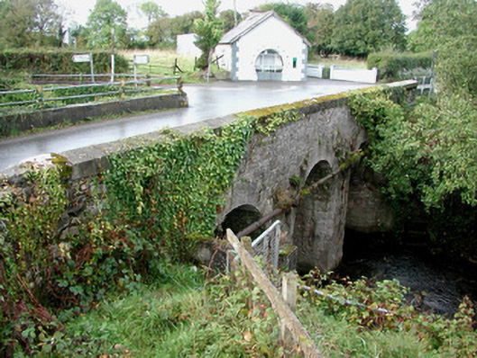 Gorteen Bridgebridge · 447 yd
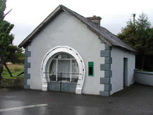 forge/smithyforge/smithy · 469 yd
 Enclosure in Gorteen (geashill By.)Enclosure · 1038 yd
 Derryad WoodForest · 1450 yd
 Scrub HillMountain / peak · 1.1 mi
 Burnett's WoodForest · 1.4 mi
 Mick the MillerMemorial · 1.6 mi
 Church (in Ruins), GraveyardChurch · 3.8 mi
 Castle Brack (in ruins)Castle, tower house · 3.8 mi
 Castle in ruinsCastle, unclassified · 4.0 mi
Other information
Photo: Credit not shown in the picture search · Rights wording not checked; contact us if this picture should be removed