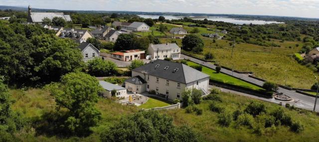
What is recorded here
Located on flat land beside river with good views in all directions. Not visible at ground level. Site was levelled about 10 years ago during land reclamation. According to local information the outline of an enclosure can be seen under suitable conditions. Hachured as oval shaped enclosure on 1912 edition of OS 6-inch map.
The above description is derived from the published 'Archaeological Inventory of County Offaly' (Dublin: Stationery Office, 1997). In certain instances the entries have been revised and updated in the light of recent research.
Date of upload: 23 May 2011
The monument record does not grant public access. Check the route and ask the landowner before entering private land.
- What survives
- Recorded monument
Places near here
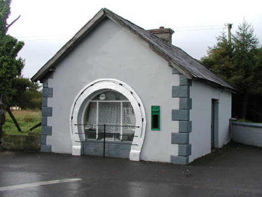 forge/smithyforge/smithy · 1194 yd
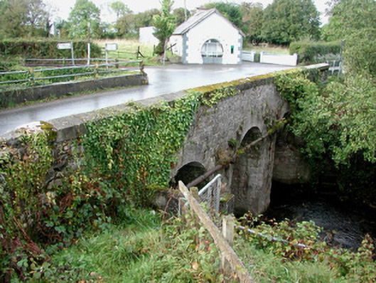 Gorteen Bridgebridge · 1213 yd
 Derryad WoodForest · 1299 yd
 Red HillMountain / peak · 1476 yd
 IndicatedCrannog · 1572 yd
 Enclosure in Clonad (geashill By.)Enclosure · 1.3 mi
 Mullagh HillMountain / peak · 1.3 mi
 Bridge WoodWood · 1.6 mi
 Mick the MillerMemorial · 2.2 mi
 CastleCastle, unclassified · 2.5 mi
 Kilmanman church (in Ruins), GraveyardChurch · 3.8 mi
 Ardnagross WellSpring · 3.8 mi
Other information
Photo: Credit not shown in the picture search · Rights wording not checked; contact us if this picture should be removed