What is recorded here
Grave Yd. is a sub-rectangular graveyard in County Louth, Ireland, measuring about 52 by 42 metres, with a roadway on its west side and a church occupying the northern half. Its earliest known headstone dates to 1770, marking more than two centuries of burial beside that road. People may have walked past this place for generations, carrying grief, memory and daily life along the same path.
Sub-rectangular shaped graveyard (map dims. c. 52m x 42m) bounded on W side by roadway with church (LH012-014001-) in N half. Earliest headstone noted dates to 1770.
Compiled by: Claire Breen
Date of upload: 13 April 2012
The monument record does not grant public access. Check the route and ask the landowner before entering private land.
- What survives
- Recorded monument
Places near here
 Church (in Ruins)Church · 16 yd
 IndicatedCastle, unclassified · 172 yd
 CastleCastle, unclassified · 446 yd
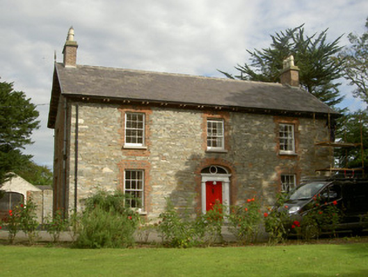 Seafield Househouse · 603 yd
 Enclosure in HaggardstownEnclosure · 931 yd
 SundialMonument · 968 yd
 Broad WoodForest · 1.2 mi
 Long WoodForest · 1.4 mi
 Louth County MuseumMuseum · 2.8 mi
 Bombing 1975Memorial · 2.8 mi
 Maid of ErinMemorial · 2.8 mi
 Photo GalleryHeritage attraction · 2.8 mi