What is recorded here
Excavations in advance of a proposed housing development (Excavation Licence No. 04E0876) uncovered pits, linear features and a possible hearth. Finds included prehistoric pottery. The excavator suggests that this may represent a heavily truncated fulacht fia. Found close to two other possible fulacht fia (see LH012-113---- and LH012-114----). (Corcoran 2007, 266)
Compiled by: Claire Breen
Date of upload: 4 May 2012
The monument record does not grant public access. Check the route and ask the landowner before entering private land.
- What survives
- Recorded monument
Places near here
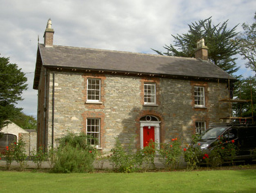 Seafield Househouse · 476 yd
 Church (in Ruins)Church · 684 yd
 IndicatedCastle, unclassified · 703 yd
 CastleCastle, unclassified · 836 yd
 SundialMonument · 1234 yd
 Broad WoodForest · 1456 yd
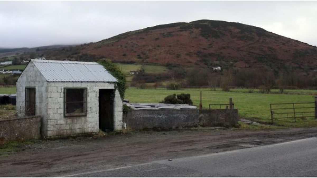 Enclosure in HaggardstownEnclosure · 1674 yd
 Long WoodForest · 1704 yd
 BallybarrackMountain / peak · 2.3 mi
 Photo GalleryHeritage attraction · 3.0 mi
 Louth County MuseumMuseum · 3.0 mi
 Bombing 1975Memorial · 3.0 mi