What is recorded here
Half a metre of drystone wall still marks a rectangular chamber on the lower slopes of Gullaba Hill, its south entrance narrow enough for one person to bend through. Ferns fill the interior and crawl over the outside stones, while new trees tighten the pasture around it. The hut faces north, abuts a larger enclosure, and sits near a burnt spread and standing stone, suggesting domestic life rather than ceremonial display.
In undulating pasture, on the lower N-facing slopes of Gullaba Hill. The remains of a rectangular hut site (4m NE-SW; 2.5m SE-NW) defined by a drystone wall (T c. 0.7m; H c. 0.5m) which externally abuts the NE arc of an enclosure (KE094-027----). There is an entrance (Wth 0.6m) in the S wall. Loose stones are scattered within the interior and outside the E and S walls of the hut site. The interior and the external perimeter of the hut site is overgrown with ferns. The surrounding area has recently been planted with trees. There is a burnt spread (KE094-027003-) c. 40m to the NE and a standing stone (KE094-050----) c. 70m to the E.
The above description is derived from the published 'Archaeological Inventory of County Kerry. Volume I: South-West Kerry' (Dublin: Stationery Office, 2009). In certain instances the entries have been revised and updated in the light of recent research.
Date of upload: 30 May 2011
The monument record does not grant public access. Check the route and ask the landowner before entering private land.
- What survives
- Recorded monument
Places near here
 Field system in Gurteen (glanarought By.)Field system · 572 yd
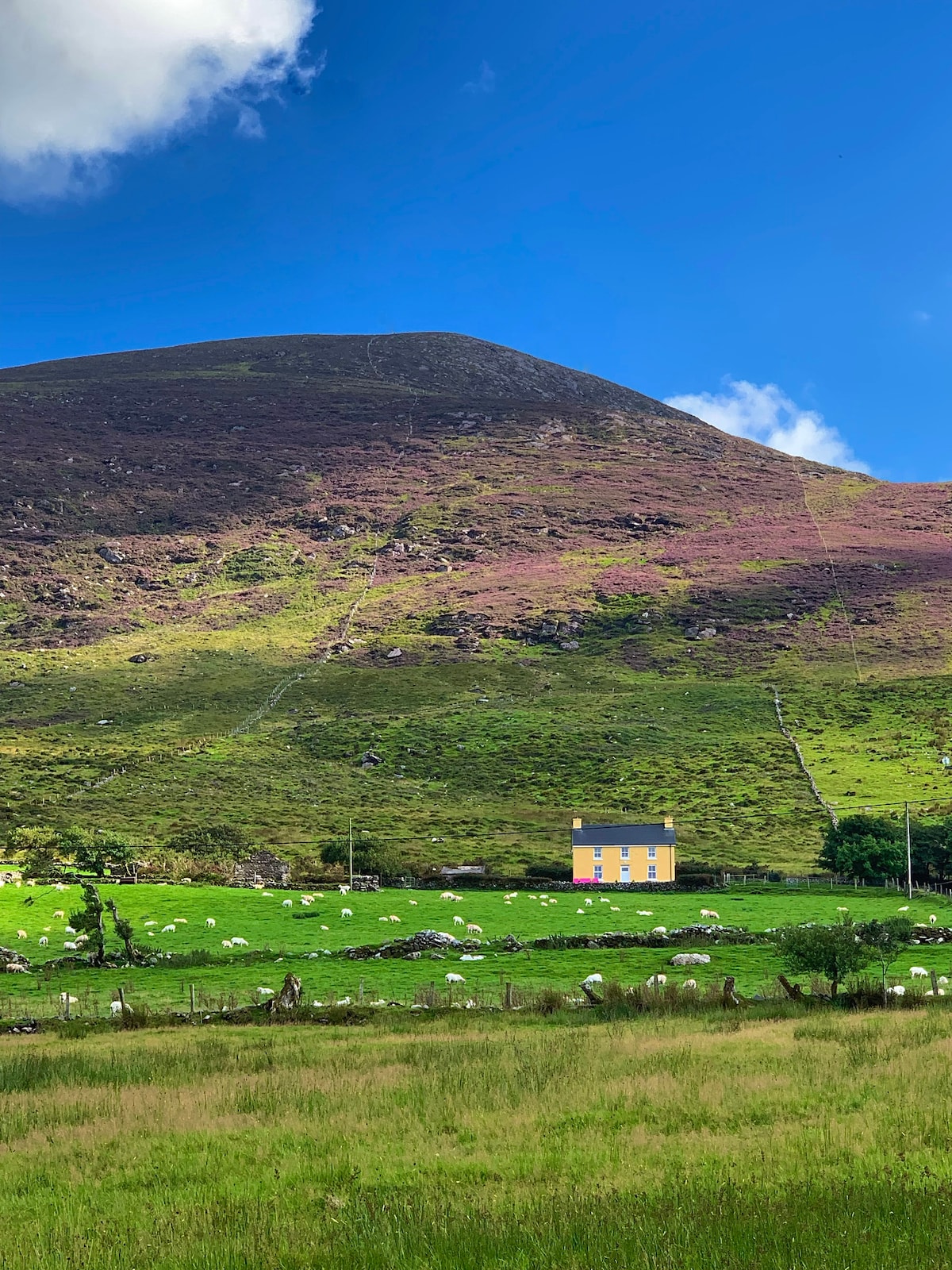 Gullaba HillMountain / peak · 1204 yd
 KnockbrackMountain / peak · 1691 yd
 SheepfoldHut site · 1.1 mi
 Battle of Callannbattle · 1.7 mi
 Kilgarvan Motor MuseumMuseum · 1.7 mi
 Bridge in Inchimore (glanarought By., Kenmare Ed)Bridge · 2.1 mi
 OutlinedKiln, lime · 2.1 mi
 Castle (Site of)Castle, unclassified · 2.5 mi
 European YewEuropean Yew · 2.5 mi
 Great Southern & Western RailwayMemorial · 2.6 mi
 CaoinkeenCliff · 2.9 mi