What is recorded here
Located on a gentle E-facing slope with a N-S stream c. 90m to the E. The parish church of Ballyhuskard (WX026-017001-) is within a rectangular graveyard (dims. c. 70m E-W; c. 35m N-S) defined by earthen banks, and the bullaun stone (WX026-017003-) is in the SW part of the graveyard.
Compiled by: Michael Moore
Date of upload: 11 July, 2012
The monument record does not grant public access. Check the route and ask the landowner before entering private land.
- What survives
- Recorded monument
Places near here
 Site of ChurchChurch · 14 yd
 St. Peters WellHoly well · 134 yd
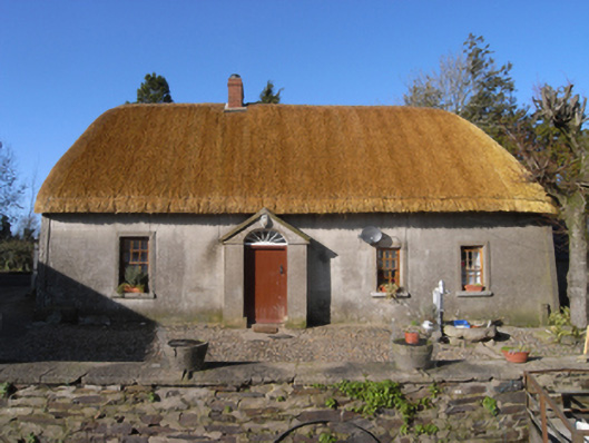 farm housefarm house · 265 yd
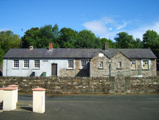 Glenbrien National Schoolschool · 1120 yd
 Ballinkeel Castle (in ruins)Castle, unclassified · 1.8 mi
 Scurlocksbush HillMountain / peak · 2.2 mi
 National 1798 CentreMuseum · 3.6 mi
 CastleCastle, ringwork · 3.6 mi
 Battle of Vinegar HillMajor battlefield · 3.8 mi
 Duffry GateMemorial · 3.9 mi
 U.N. Peace MemorialMonument · 3.9 mi
 Raheennahoon HillMountain / peak · 7.8 mi