
What is recorded here
Situated at the crest of an E-facing slope. The parish church of Ballylaneen (WA024-037001-) is within a circular graveyard (diam. 60m) defined by a drystone wall (Wth 1-1.7m; H 0.8-1.3m) or a stone-faced field bank. There are no visible remains of a church or of burial.
Compiled by: Michael Moore
Date of upload/revision: 9th May, 2011.
This remains an important historical record, but the official description says the monument is no longer visible or has been destroyed. The monument record does not grant public access. Check the route and ask the landowner before entering private land.
- What survives
- No visible remains or recorded as destroyed
Places near here
 Font (present location) in BallylaneenFont (present location) · 690 yd
 Holy well in BallylaneenHoly well · 895 yd
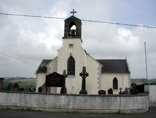 Saint Anne's Catholic Churchchurch/chapel · 968 yd
 Mandevilles RockCastle, unclassified · 1075 yd
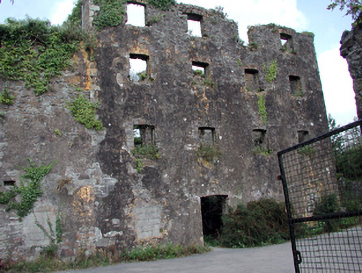 Carrigcastle Millmill (water) · 1459 yd
 8 Arch GalleryGallery · 2.6 mi
 Ballydowane CoveBeach / strand · 2.6 mi
 Bunmahon Miners' CottagesVisitor information · 2.7 mi
 Site of Cas.Castle, unclassified · 2.7 mi
 Copper CoastCoastal geological landscape · 2.7 mi
 Miners BucketVisitor information · 2.8 mi
 Tra na mBoBeach / strand · 2.8 mi
Other information
Photo: Credit not shown in the picture search · Rights wording not checked; contact us if this picture should be removed