What is recorded here
Fairy fort / earthen ringfort in Grangegeeth is a fairy fort or earthen ringfort in Grangegeeth, County Westmeath, Ireland. The site occupies a small natural rise in gently undulating grassland, offering views from west-southwest to north. A raised oval-shaped area with an approximate diameter of 21 metres on its north-south axis is enclosed by a poorly preserved earthen bank. The bank was levelled from west-northwest through north to northeast, while quarrying reduced the monument to exterior ground level from northeast through east to south.
Situated on a small natural rise, surrounded by gently undulating grassland with good views from WSW-N. Moated site (WM011-098----) 320m to NE, possible ringfort (WM011-101----) 30m to NW. A raised oval-shaped area (approx. diam. 21m N-S) enclosed by a poorly preserved earthen bank. The bank has been levelled from WNW-N-NE, and from NE-E-S the monument has been reduced to exterior ground level by quarrying. Traces of cultivation ridges are visible running NE-SW across the interior of the monument, which rises slightly towards the centre. The road which marks the boundary with Piercefield or Templeoran townland intersects the site at W.
Compiled by: Frank Coyne and Caimin O'Brien
Date of upload: 25 August 2017
The monument record does not grant public access. Check the route and ask the landowner before entering private land.
- What survives
- Recorded monument
Places near here
 IndicatedBawn · 464 yd
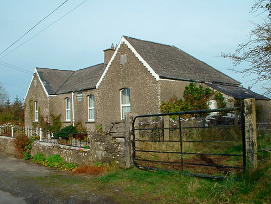 Balrath National Schoolschool · 736 yd
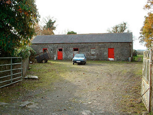 outbuildingoutbuilding · 789 yd
 Partially hachuredFairy fort / earthen ringfort · 1463 yd
 Castle Quarter, Castle (in ruins)Castle, unclassified · 1.4 mi
 Lack LomanArchaeological place · 1.5 mi
 Carrickphilbin IslandIslet · 1.9 mi
 Srudarra IslandIslet · 2.6 mi
 Baronstown ForestWood · 3.2 mi
 Horse-chestnutHorse-chestnut · 3.3 mi
 Bridge Memorial (Kenna)Memorial · 3.6 mi
 Abbeyshrule AbbeyRuins · 8.9 mi