What is recorded here
A circular enclosure with a seven-metre-wide bank and twenty-nine-metre diameter stands on the rocky summit of Ardaghlooda, overlooking Lough Gur. A later field boundary cuts across its centre, but the original shape remains visible in the pasture. It belongs to a dense cluster of ancient monuments on the ridge, including two neighbouring enclosures and standing stones. The hachured arc on old survey maps marks one of the few places where human imagination and formal record still align.
On rocky pasture on the summit Ardaghlooda, a rocky ridge overlooking Lough Gur, 90m W of the lake. The site is one of three enclosures on the hill (LI032-011001-/002/004-) within a dense concentration of archaeological monuments including standings stones (LI032-009/010002-). Enclosure (LI032-011001-) located 95m to SSW, enclosure (LI032-011004-) located 43m to SW. The great stone circle at Grange (LI032-004001-) located 430m to SW. The site pre-dates a later historic field system (LI032-011003-) which overlies the enclosures (LI032-011001/002/004-). The historic road (LI032-010001-) known as 'Cladh na Leac' skirts around the W side of the hill 165m W of the enclosure.
The site is not depicted on the 1840 ed. OSi 6-inch or on the 1897 ed. 25-inch maps. It is depicted on the Cassini 6-inch OSi map by a curving arc of hachures defining the SW side of the enclosure (ext. diam. c. 25m). It is faintly visible on OSi orthoimage taken 2005-12 and on Digital Globe orthoimage taken 2011-2013. The site is visible on Google Earth orthoimage taken 05/04/2006; 25/03/2017; 20/03/2018 and 20/09/20200 and survives as a circular enclosure (int. diam. 29m N-S; 29m E-W) surrounded by a low bank (Wth c. 7m). The enclosure is bisected by a later E-W field boundary that forms part of relic field system (LI032-011003-).
See attached Google Earth orthoimages
Compiled by: Edmond O’Donovan
Date of upload: 3 November 2020
The monument record does not grant public access. Check the route and ask the landowner before entering private land.
- What survives
- Recorded monument
Places near here
 Field system in Grange (smallcounty By.)Field system · 58 yd
 Enclosure in Grange (smallcounty By.)Enclosure · 140 yd
 Garret IslandCastle, unclassified · 370 yd
 Cladh na LeacRoad, road/trackway · 370 yd
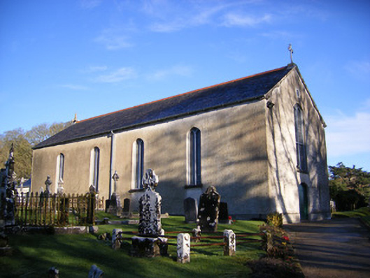 Catholic Church of Saint Patrick and Saint Brigidchurch/chapel · 409 yd
 Lough GurVisitor information · 586 yd
 Grange Stone circleVisitor information · 587 yd
 Bawn in Grange (smallcounty By.)Bawn · 861 yd
 Pedunculate OakPedunculate Oak · 1213 yd
 The SpectaclesVisitor information · 1384 yd
 Lough Gur Heritage CentreVisitor information · 1410 yd
 Glen BogForest · 2.2 mi