
What is recorded here
On rocky pasture on Ardaghlooda, a rocky ridge overlooking Lough Gur, 110m W of the lake within a dense concentration of archaeological monuments including standings stones (LI032-009/010002-). One of three enclosures on the hill (LI032-011001/002-/004-), enclosure (LI032-011002-) located on the summit 95m to NNE, enclosure (LI032-011004-) located 15m to N. The great stone circle at Grange (LI032-004001-) is located 350m to SW. The site pre-dates a later historic field system (LI032-011003-) which overlies the enclosures (LI032-011001-/002/004-). A historic road (LI032-010001-) known as 'Cladh na Leac' skirts around the W side of the hill 100m from the enclosure.
The enclosure is not depicted on the 1840 ed. OSi 6-inch, 1897 ed. OSi 25-inch or on the Cassini OSi 6-inch maps. It is faintly visible on OSi orthoimage taken 2005-12 and on the Digital Globe orthoimage taken 2011-2013. Grogan (1989, Vol. 2, 9, Vol. 3, Figs. 4-5) describes the site as a ‘habitation enclosure...... the site is circular and is 25m in maximum diameter’. The site is visible on Google Earth orthoimage taken 16/03/2016 and 25/03/2017 and survives as a circular enclosure (ext. diam. 19m N-S; 17.5m E-W) bisected by a later E-W field boundary that forms part of relic field system (LI032-011003-). The enclosure is defined by a low bank.
See attached Google Earth orthoimages
Compiled by: Edmond O’Donovan
Date of upload: 3 November 2020
The monument record does not grant public access. Check the route and ask the landowner before entering private land.
- What survives
- Recorded monument
Places near here
 Field system in Grange (smallcounty By.)Field system · 82 yd
 Lough Gur Standing StoneArchaeological place · 133 yd
 Cladh na LeacRoad, road/trackway · 231 yd
 Garret IslandCastle, unclassified · 416 yd
 Grange Stone CircleArchaeological place · 428 yd
 Lough GurVisitor information · 469 yd
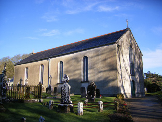 Catholic Church of Saint Patrick and Saint Brigidchurch/chapel · 491 yd
 Bawn in Grange (smallcounty By.)Bawn · 795 yd
 Pedunculate OakPedunculate Oak · 1284 yd
 The SpectaclesVisitor information · 1486 yd
 Lough Gur Heritage CentreVisitor information · 1503 yd
 Glen BogForest · 2.2 mi
Other information
Photo: Credit not shown in the picture search · Rights wording not checked; contact us if this picture should be removed