
What is recorded here
On the W side of Ardaghlooda, a rocky ridge overlooking Lough Gur, between 40-200m W of the lake. Located 220m E of the great stone circle at Grange (LI032-004001-) within a dense concentration of archaeological monuments including standings stones (LI032-009/010002-) located 45m W and 30m E of the road respectively. Incorporated into a historic field system (LI032-011003-) and between 120-175m W of three enclosures (LI032-011001/002/004-). The S end of the historic road abuts a megalithic structure (LI032-010003-).
The road is not depicted on the 1840 ed. OSi 6-inch or the 1897 ed. OSi 25-inch maps, although a field boundary (560m long) is illustrated running along the W side of the road. The historic road is annotated 'Cladh na Leac' on the Cassini OSi 6-inch map as slightly curving (orientated NNW-SSE; L 775m; Wth 8m). The road was described by Ó Ríordáin (1951, 39-40) as ‘a sunken track lined on both sides by boulders’. The road is clearly visible on OSi orthoimage taken 2005-12 and on the Digital Globe orthoimages taken 2011-2013 as a linear sunken road lined on either side by a ditch. The site is visible on Google Earth orthoimage taken 05/04/2006; 16/03/2016; 20/03/2020 and 20/09/2020. The course of the road can be traced from Loughgur House (NIAH Reg. No. 21903205) on aerial photographs from its N end to the townland boundary in the S at Ballynagallagh. A separate section of the historic road survives in Ballynagallagh townland (LI032-041001-). The N end of the road appears to run from Loughgur House along a modern road on the S side of Grange Hill where it again can be traced as a field monument (LI023-241----) as far as the Camoge River. Lynch traces the road as far as Kilmallock (1951, 75).
See attached Google Earth orthoimages
Compiled by: Edmond O’Donovan
Date of upload: 3 November 2020
The monument record does not grant public access. Check the route and ask the landowner before entering private land.
- What survives
- Recorded monument
Places near here
 Structure in Grange (smallcounty By.)Structure · 172 yd
 Enclosure in Grange (smallcounty By.)Enclosure · 231 yd
 Grange Stone CircleArchaeological place · 284 yd
 Lough GurVisitor information · 345 yd
 Garret IslandCastle, unclassified · 547 yd
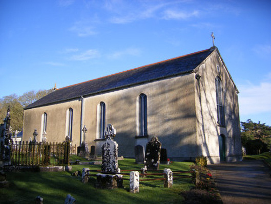 Catholic Church of Saint Patrick and Saint Brigidchurch/chapel · 682 yd
 Bawn in Grange (smallcounty By.)Bawn · 759 yd
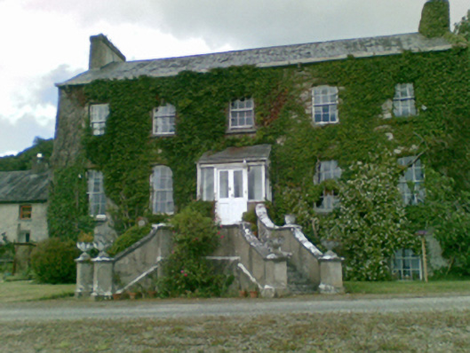 Loughgur Housecountry house · 811 yd
 Pedunculate OakPedunculate Oak · 1403 yd
 The SpectaclesVisitor information · 1648 yd
 Lough Gur Heritage CentreVisitor information · 1652 yd
 Glen BogForest · 2.1 mi
Other information
Photo: Credit not shown in the picture search · Rights wording not checked; contact us if this picture should be removed