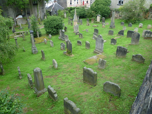
What is recorded here
One chamber lost its roof, another lost its shape, and both still hold dead men steady beneath the Deel sky. The church gives up its height to mark the field, while the graveyard gives up width to keep the dead close together. That is why the place feels complete instead of ruined.
In pasture, close to E bank of river Deel. Approached by pathway from road to S. Rectangular graveyard (c. 35m E-W; c. 25m N-S) enclosed by low stone wall but with ruin of parish church of Grange forming NW corner. Still in use; earliest headstone noted dated 1777. Covering slab of 19th century chest tomb rests against S wall of church. Chamfered block of limestone, of late-medieval appearance, built into N graveyard wall.
Compiled by: Denis Power
Date of upload: 26 August 2011
The monument record does not grant public access. Check the route and ask the landowner before entering private land.
- What survives
- Recorded monument
Places near here
 Grange Church (in ruins)Church · 16 yd
 Grange Househouse · 226 yd
 BarrowBarrow, ditch barrow · 337 yd
 Enclosure in Grange LowerEnclosure · 632 yd
 Templars Castle (in ruins)Castle, Anglo-Norman masonry castle · 2.1 mi
 Castle MahonCastle · 2.6 mi
 European ashEuropean ash · 2.9 mi
 St. Luke's WellSpring · 3.4 mi
 St. Kieran's WellSpring · 3.5 mi
 Limerick GreenwayWalking route · 5.3 mi
 Sugar HillMountain / peak · 6.6 mi
 Ballagh MountainMountain / peak · 7.3 mi
Other information
Photo: Credit not shown in the picture search · Rights wording not checked; contact us if this picture should be removed