
What is recorded here
Forming NW corner of graveyard (LI036-040002-). Roofless ruin of rectangular church (14.85m E-W; 8.12m N-S) built of roughly-coarsed rubble stone. Walls stand to full height though gable edgings missing; walls plastered inside and out. Distinct base batter on W wall, slight batter on N wall. Opposite doorways W-of-centre in N and S walls; N doorway narrower and probably an insertion. South doorway has re-built limestone door surround; this has deep chamfer, moulded stop chamfers and nib holes, which are incorrectly re-set. Doorway missing its lintels. North doorway very ruined and gap no blocked-up with rubble which includes fragments from limestone ogee-headed window light. Lit by three windows: in centre of E gable and just E-of-centre in N and S wall, all now much ruined; E window was adopted to take wooden window frame but only set-back for frame survives. Vertical gap in plaster inside church, just E of N and S windows, indicates former wooden partition.
Formerly parish church of Grange. Core of church probably late-medieval; by 1615 it was 'up, but not covered' (Westropp 1904-5, 407), but subsequently repaired with insertion wooden windows etc. In 1840 described as 'not long out of use' (OSL vol. 2, 17).
Compiled by: Denis Power
Date of upload: 26 August 2011
The monument record does not grant public access. Check the route and ask the landowner before entering private land.
- What survives
- Recorded monument
Places near here
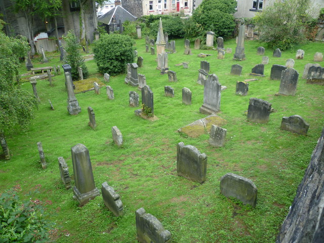 Burial GroundGraveyard · 16 yd
 Grange Househouse · 233 yd
 Grange BridgeBridge · 249 yd
 BarrowBarrow, ditch barrow · 328 yd
 Templars Castle (in ruins)Castle, Anglo-Norman masonry castle · 2.1 mi
 Castle MahonCastle · 2.6 mi
 European ashEuropean ash · 2.9 mi
 St. Luke's WellSpring · 3.4 mi
 St. Kieran's WellSpring · 3.5 mi
 Limerick GreenwayWalking route · 5.3 mi
 Sugar HillMountain / peak · 6.6 mi
 Ballagh MountainMountain / peak · 7.3 mi
Other information
Photo: Credit not shown in the picture search · Rights wording not checked; contact us if this picture should be removed