What is recorded here
Fairy forts are not forts at all but circular dwellings misread by later folklore. In Grange Irish, a worn earthen bank still marks a small house or yard from centuries ago. The fairies belong to the legend, not the architecture. People lived there, breathed there, and forgot the names of everyone who ever entered.
The following description is derived from both the published 'Archaeological Inventory of County Louth' (Dublin: Stationery Office, 1986) and the 'Archaeological Survey of County Louth' (Dublin: Stationery Office, 1991). In certain instances the entries have been revised and updated in the light of recent research.
Date of upload/revision: 17 July 2007
Circular area (int. diam. 23m) enclosed by earthen bank (Wth 2.8m, H 0.6m internally, 1.4m externally) with traces of internal and external boulder facing. The bank is almost completely denuded in the NE quadrant, and is reduced to a slight scarp from SE-S and on the W. No visible trace of ancient entrance or fosse.
This remains an important historical record, but the official description says the monument is no longer visible or has been destroyed. The monument record does not grant public access. Check the route and ask the landowner before entering private land.
- What survives
- No visible remains or recorded as destroyed
Places near here
 Enclosure in Commons (carlingford Par.)Enclosure · 837 yd
 Saint James's Catholic Churchchurch/chapel · 1110 yd
 IndicatedFairy fort / earthen ringfort · 1183 yd
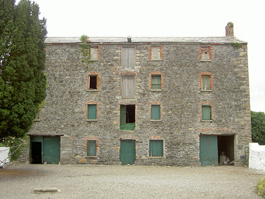 granarygranary · 1189 yd
 Grange UpperMountain / peak · 1208 yd
 BarnavaveMountain / peak · 1.0 mi
 The BushPicnic place · 1.3 mi
 Carlingford - Loop 1A- Commons LoopWalking route · 1.4 mi
 Cooley CastleCastle, tower house · 1.5 mi
 Graveyard in Liberties OF CarlingfordGraveyard · 1.6 mi
 Carlingford Heritage CentreVisitor information · 1.6 mi
 Town GateHeritage attraction · 1.6 mi