What is recorded here
Marked as a circular mound (diam. of top c. 15m; diam. of base c. 40m) on the 1839 ed. of the OSI 6-inch map, and locally known as 'the Moat'. It is situated on a SE-facing slope of the foothills of the Blackstairs Mountains. This is a slightly raised oval, grass-covered area (dims. 19m NE-SW; 11m NW-SE; H 0.2-1m) with a few bushes.
The above description is derived from the published 'Archaeological Inventory of County Wexford' (Dublin: Stationery Office, 1996). In certain instances the entries have been revised and updated in the light of recent research.
Compiled by: Michael Moore
Date of upload/revision: 22 May, 2012
A circular mound, likely a Neolithic passage tomb or portal dolmen, with local significance as a prehistoric burial or ceremonial site. Its size and location suggest it was an important feature in the landscape during the Neolithic period.
The monument record does not grant public access. Check the route and ask the landowner before entering private land.
- What survives
- Recorded monument
Places near here
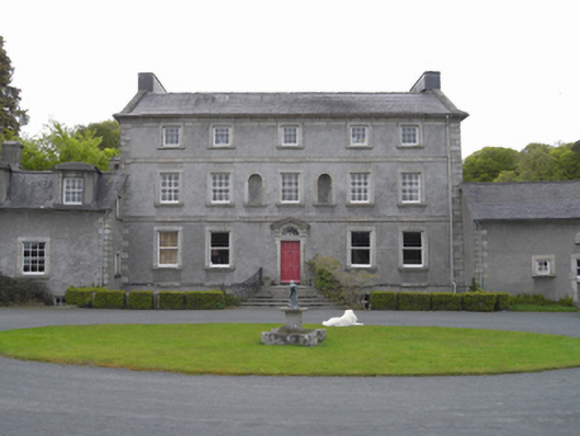 Monksgrange Housecountry house · 392 yd
 IndicatedEnclosure · 740 yd
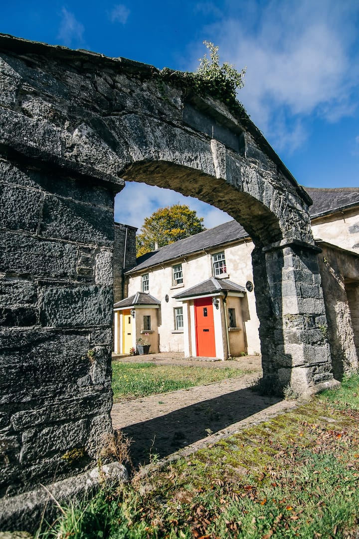 Embanked enclosureEnclosure · 1128 yd
 SlievebaunMountain / peak · 1.0 mi
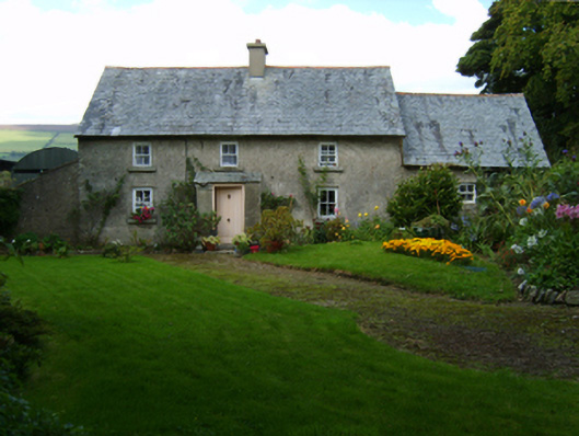 farm housefarm house · 1.4 mi
 1798 MemorialMemorial · 1.8 mi
 White MountainMountain / peak · 2.5 mi
 Ruin of a small castleRuins · 4.1 mi
 Coonogue WoodForest · 4.6 mi
 1798 RebellionMemorial · 4.8 mi
 Site of Warrens CastleCastle, unclassified · 5.5 mi
 Silver WattleSilver Wattle · 6.0 mi