What is recorded here
Habitation site in Graigueshoneen is a habitation site in Graigueshoneen, County Waterford, Ireland. Excavated as Area 25 of the N25 Kilmacthomas re-alignment, the site is situated at the north end of a broad south-north spur of Treacy's Hill overlooking the north-west-south-east Mahon river, which is approximately 550 metres to the east. Fragments of at least five Neolithic carinated bowls were recovered from the Bronze Age settlement, though no features could be associated with these Neolithic sherds.
Excavated (00E0059) as Area 25 of the N25 Kilmacthomas re-alignment. Situated at the N end of a broad S-N spur of Treacy's Hill overlooking the NW-SE Mahon river which is c. 550m to the E. Fragments of at least five Neolithic carinated bowls were recovered from the Bronze Age settlement represented by hut-site (WA015-094002-), but no features could be associated with the Neolithic sherds. (Tierney and Frazer 2002; Tierney 2008)
Compiled by: Michael Moore.
Date of upload: 17th December, 2010.
The monument record does not grant public access. Check the route and ask the landowner before entering private land.
- What survives
- Recorded monument
Places near here
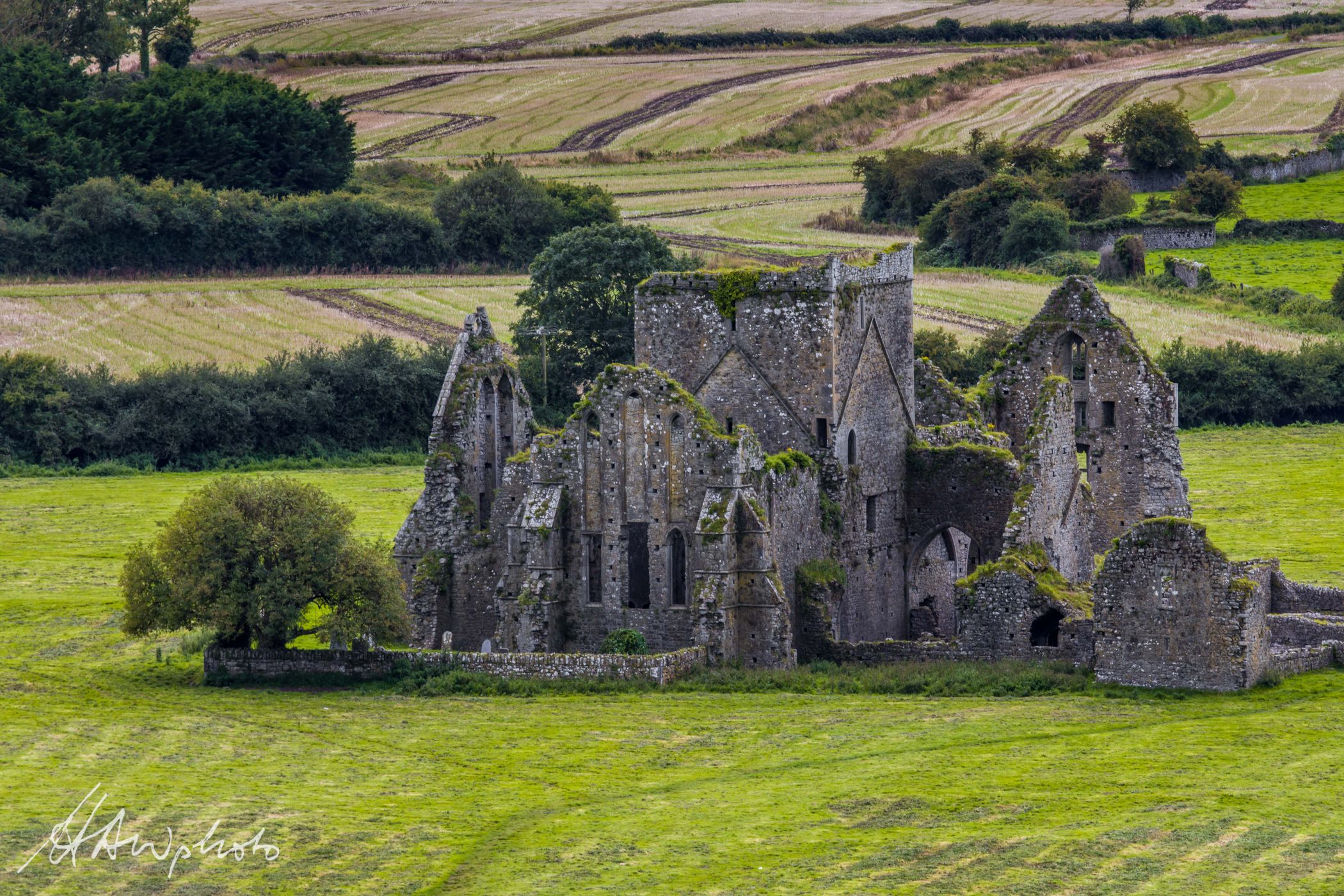 Burnt mound in GraigueshoneenBurnt mound · 496 yd
 8 Arch GalleryGallery · 973 yd
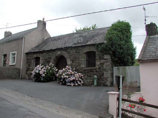 Historic buildingOfficially recorded historic building · 993 yd
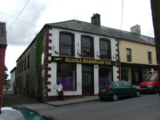 unknownunknown · 995 yd
 Fulacht fia in KilmacthomasFulacht fia · 1001 yd
 Site of Cas.Castle, unclassified · 1142 yd
 Castle (in ruins)Castle, unclassified · 1.2 mi
 Croughaun HillMountain / peak · 3.7 mi
 Crough WoodWood · 3.9 mi
 Kilclooney WoodForest · 4.4 mi
 Copper CoastCoastal geological landscape · 4.6 mi
 Bunmahon Miners' CottagesVisitor information · 4.6 mi