What is recorded here
Ten metres of burnt stone and charcoal lie flat in a Kilkenny pasture, waiting for a plough to reveal them again. They sit beside a ringfort and another fulacht fia, suggesting a busy place where heat, water and people repeated the same work. The field has changed boundaries and names, but the stones still mark the spot where living required fire.
In a large field in good pastureland, adjacent to, and S of, a recently removed field boundary, aligned roughly E-W, and indicated on the 1st (1839) ed. OS 6-inch map and partially on the 18990-1900 revision. A roughly circular spread of burnt stone and charcoal (diam. c. 10m) discovered during ploughing. There is another fulacht fia (KK022-051----) c. 100m to the NW and a ringfort (KK022-024----) c. 50m to the NE.
Compiled by: Jean Farrelly
Date of upload: 12 July 1989
The monument record does not grant public access. Check the route and ask the landowner before entering private land.
- What survives
- Recorded monument
Places near here
 Pedunculate OakPedunculate Oak · 1043 yd
 Enclosure in BallywalterEnclosure · 1314 yd
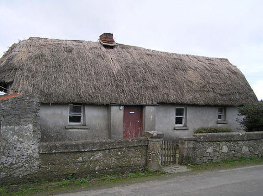 Dixon's Cottagefarm house · 1387 yd
 CastleCastle, ringwork · 1.1 mi
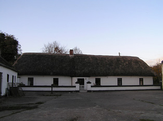 farm housefarm house · 1.1 mi
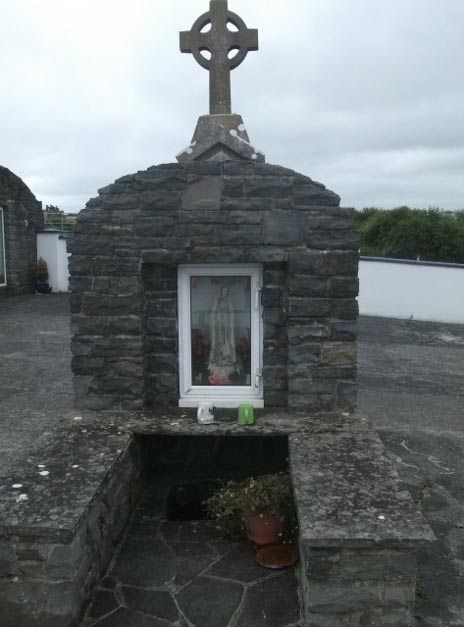 Holy WellHoly well · 1.2 mi
 GreatwoodForest · 1.3 mi
 Edmund Rice Heritage CentreMuseum · 1.4 mi
 West CourtCastle, unclassified · 1.6 mi
 Local LifeVisitor information · 1.7 mi
 Margaret RyanMemorial · 1.7 mi
 The MotteVisitor information · 1.7 mi