
What is recorded here
In flat pasture. Identified as the circular cropmark of an enclosure (diam. c. 40m) on an aerial photograph (CUCAP AVO096; 17 July 1968). There is no visible trace of the enclosure at ground level.
See attached:
KK022-022----_01 CUCAP (AVO096, 17 July 1968)
Compiled by: Jean Farrelly
Date of upload: 24 May 2021
This remains an important historical record, but the official description says the monument is no longer visible or has been destroyed. The monument record does not grant public access. Check the route and ask the landowner before entering private land.
- What survives
- No visible remains or recorded as destroyed
Places near here
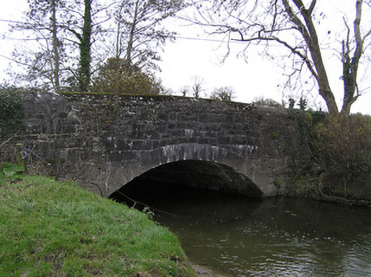 Killaloe Bridgebridge · 1287 yd
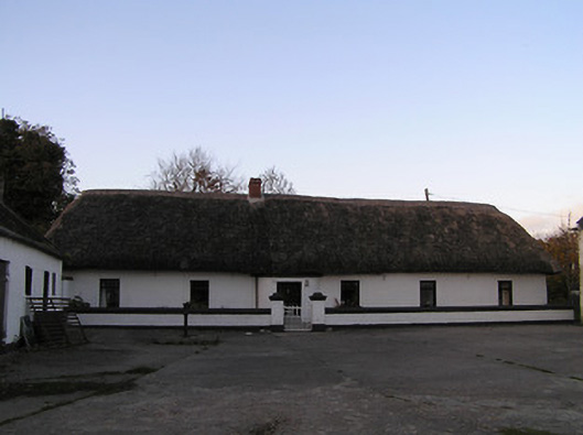 farm housefarm house · 1418 yd
 TobermoluaHoly well · 1682 yd
 Pedunculate OakPedunculate Oak · 1.0 mi
 Edmund Rice Heritage CentreMuseum · 1.4 mi
 Enclosure in Ballykeefe BogEnclosure · 1.5 mi
 CastleCastle, ringwork · 1.6 mi
 West CourtCastle, unclassified · 1.6 mi
 Local LifeVisitor information · 1.8 mi
 GreatwoodForest · 1.8 mi
 The MotteVisitor information · 1.8 mi
 Margaret RyanMemorial · 1.8 mi
Other information
Photo: Credit not shown in the picture search · Rights wording not checked; contact us if this picture should be removed