What is recorded here
Situated towards the top of a W-facing slope, and identified during clear felling. Roughly sub-rectangular enclosure (dims. 39.6m NE-SW; 36m NW-SE) defined by a much denuded bank (Wth c. 3m; H 0.5-0.6m) consisting of substantial dumps of earth and stone with occasional larger stones and boulders forming an orthostatic revetment in places, both internally and externally. The bank has been levelled in the SE and SW quadrants, apparently as a result of original forestry ground preparation. Enclosure (WA005-061----) is located 20m to the E.
Compiled by: Jean Farrelly
Date of upload: 21 July 2010
The monument record does not grant public access. Check the route and ask the landowner before entering private land.
- What survives
- Recorded monument
Places near here
 Site of CastleCastle, unclassified · 686 yd
 IndicatedEnclosure, large enclosure · 828 yd
 Pigeon HillMountain / peak · 1137 yd
 BarrowBarrow, ring-barrow · 1145 yd
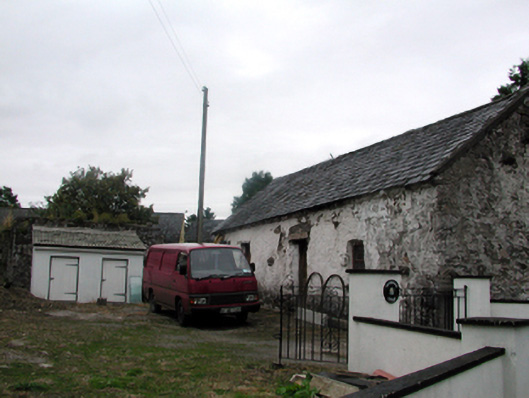 Shandarrick Cottageoutbuilding · 1266 yd
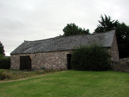 farmyard complexfarmyard complex · 1286 yd
 KnockeenMountain / peak · 1.1 mi
 Laeka WoodWood · 1.3 mi
 Turraphuca WoodForest · 2.0 mi
 Curraghcloney CastleCastle · 2.9 mi
 Siglloges LoopWalking route · 4.6 mi