What is recorded here
Situated towards the top of a W-facing slope, and identified during clear felling. Sub-rectangular enclosure (dims. 36.6m E-W; 26m N-S) defined by a slight earth and stone bank (Wth c. 3m; H 0.5-0.6m) with traces of an internal and external revetment. The bank has been removed at E. There are traces of a field bank extending E (L c. 44m) from the NE angle as clusters of set and displaced boulders. Enclosure (WA005-060----) is c. 20m to the W.
Compiled by: Jean Farrelly
Date of upload: 21 July 2010
This remains an important historical record, but the official description says the monument is no longer visible or has been destroyed. The monument record does not grant public access. Check the route and ask the landowner before entering private land.
- What survives
- No visible remains or recorded as destroyed
Places near here
 Site of CastleCastle, unclassified · 737 yd
 IndicatedEnclosure, large enclosure · 854 yd
 Pigeon HillMountain / peak · 1122 yd
 BarrowBarrow, ring-barrow · 1139 yd
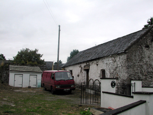 Shandarrick Cottageoutbuilding · 1303 yd
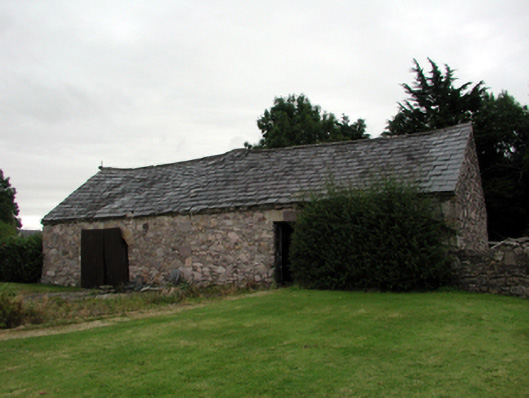 farmyard complexfarmyard complex · 1322 yd
 KnockeenMountain / peak · 1.1 mi
 Laeka WoodWood · 1.3 mi
 Turraphuca WoodForest · 2.0 mi
 Curraghcloney CastleCastle · 2.9 mi
 Siglloges LoopWalking route · 4.6 mi